
We read your photo as:
Answers in english please
ScanSolve AI Answer
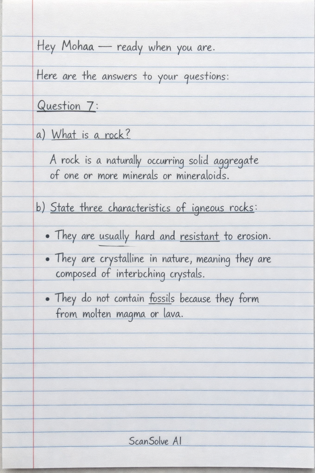
Here are the answers to your questions:
Question 7:
-
a) What is a rock? A rock is a naturally occurring solid aggregate of one or more minerals or mineraloids.
-
b) State three characteristics of igneous rocks.
- They are usually hard and resistant to erosion.
- They are crystalline in nature, meaning they are composed of interlocking crystals.
- They do not contain fossils because they form from molten magma or lava.
-
c) Explain how rocks influence each of the following:
- i) Drainage The type of rock significantly influences drainage. Permeable rocks like sandstone allow water to infiltrate, leading to underground drainage and fewer surface streams. Impermeable rocks like granite force water to flow over the surface, resulting in dense surface drainage networks and often forming waterfalls or rapids.
- ii) Settlement Rock types affect settlement patterns. Areas with soft, easily workable rocks or fertile soils derived from weathered rocks are often preferred for agriculture and dense settlements. Hard, resistant rocks in mountainous or rugged terrain make construction difficult and limit settlement, while areas with porous rocks might have water scarcity issues affecting settlement.
- iii) Transport Rocks influence transport infrastructure. Hard, stable rocks provide good foundations for roads, railways, and bridges, making construction easier and more durable. Soft or unstable rocks can lead to landslides, require extensive engineering, and increase construction costs, thus limiting transport development.
-
d) Students of Matunwa secondary school carried out field study around Menengai Crater to study rocks and other volcanic activities.
- i) Give two reasons why reconnaissance was important.
- To identify potential hazards and ensure the safety of the students during the field study.
- To familiarize the students with the study area and help them formulate relevant research questions.
- ii) Outline the purpose of the following tools that they carried along:
- Hammer: Used for breaking off rock samples for closer examination and collection.
- Bags: Used for collecting and storing rock samples and other specimens.
- Geological compass: Used for measuring the strike and dip of rock layers and determining directions.
- Geological map: Used for identifying different rock types, geological structures, and planning routes within the study area.
- i) Give two reasons why reconnaissance was important.
-
e) Give three follow-up activities after the field-study.
- Analysis of collected samples in the laboratory.
- Writing a field report detailing observations, findings, and conclusions.
- Presenting findings to peers or teachers.
Question 8:
-
a) What is wind abrasion? Wind abrasion is the erosional process where wind-borne particles (like sand) impact and wear away rock surfaces, smoothing, pitting, or polishing them.
-
b) i) State two factors that influence wind transportation in arid areas.
- Wind velocity: Stronger winds can transport larger and heavier particles.
- Size and availability of loose particles: Abundance of sand and dust allows for more transportation.
- ii) Name two features formed by wind erosion.
- Yardangs
- Zeugen
-
c) Explain three conditions necessary for wind erosion to occur in arid areas.
- Presence of strong winds: High-velocity winds are needed to lift and carry sediment particles.
- Sparse or absent vegetation cover: Lack of plants means the ground is exposed, and soil/sediment is not anchored, making it vulnerable to wind.
- Abundance of loose, dry, unconsolidated material: There must be a sufficient supply of sand, silt, and dust particles that can be easily picked up by the wind.
-
d) Describe how the following features are formed.
- i) Barchan. A barchan is a crescent-shaped sand dune formed in areas with a limited supply of sand and a consistent wind direction. Sand accumulates around an obstacle, and the wind pushes it forward, creating a gentle windward slope and a steeper leeward slope with two "horns" pointing downwind.
- ii) Mushroom block (or Pedestal Rock). A mushroom block is formed by differential wind abrasion. When a rock mass has softer layers near the base and harder, more resistant layers above, wind-borne sand particles erode the softer base more rapidly, creating an undercut, mushroom-like shape.
- iii) A wadi. A wadi is a dry riverbed found in arid or semi-arid regions. It is formed by episodic flash floods that occur during rare, intense rainfall events. The rushing water erodes the landscape, creating a channel that remains dry for most of the year.
-
e) Define Ephemeral River. An ephemeral river is a river or stream that flows only during and immediately after rainfall or snowmelt, remaining dry for the rest of the year.
Still stuck on this one?
Ask a follow-up, and the answer starts from this question.
More English Questions
Handwritten Step-by-Step Solution
Get this as a handwritten image on WhatsApp — like a tutor wrote it for you.
Try on WhatsApp