
This geography problem is solved step by step below, with detailed explanations to help you understand the method and arrive at the correct answer.
ScanSolve AI Answer
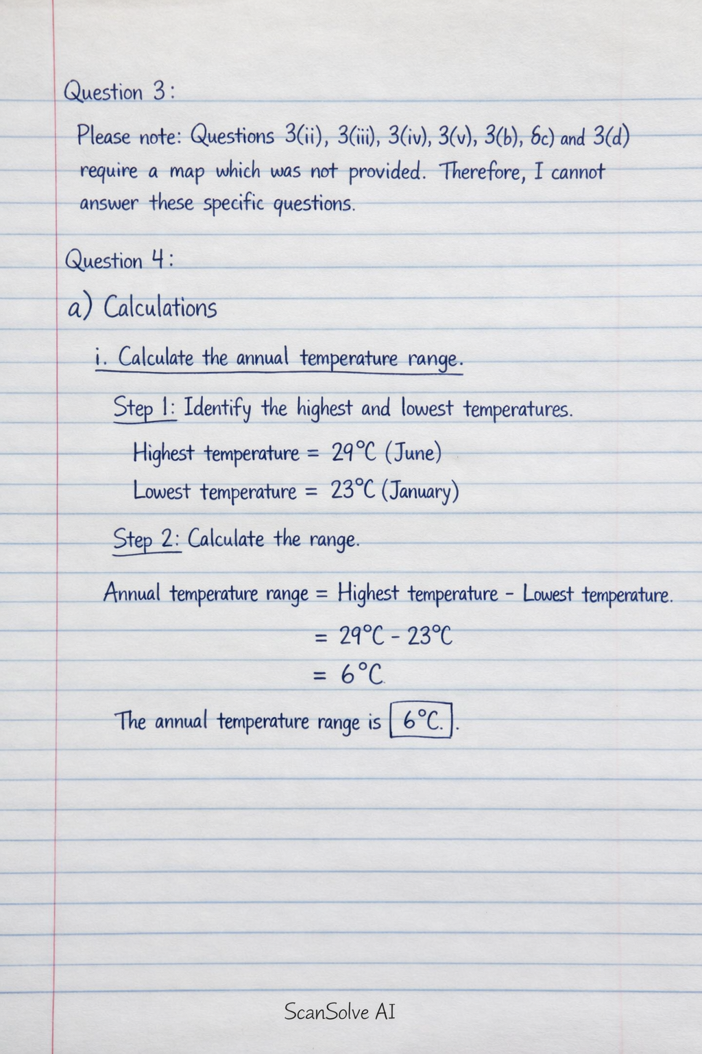
Question 3: Please note: Questions 3(ii), 3(iii), 3(iv), 3(v), 3(b), 3(c), and 3(d) require a map which was not provided. Therefore, I cannot answer these specific questions. Question 4: a) Calculations i. Calculate the annual temperature range. Step 1: Identify the highest and lowest temperatures. Highest temperature = 29^ (June) Lowest temperature = 23^ (January) Step 2: Calculate the range. Annual temperature range = Highest temperature - Lowest temperature Annual temperature range = 29^ - 23^ = 6^ The annual temperature range is 6^. ii. Find the mean monthly temperature. Step 1: Sum all monthly temperatures. Sum of temperatures = 23+24+25+27+27+29+28+27+26+25+24+24 = 319^ Step 2: Divide the sum by the number of months (12). Mean monthly temperature = Sum of temperaturesNumber of months Mean monthly temperature = 319^12 ≈ 26.58^ The mean monthly temperature is 26.58^. iii. Determine the annual rainfall. Step 1: Sum all monthly rainfall values. Annual rainfall = 5+10+33+40+60+100+75+40+30+15+5+5 = 418 mm The annual rainfall is 418 mm. b) Draw a combined line and bar graph (polygraph) to represent the data. To draw a polygraph: • Draw a horizontal axis for months (January to December). • Draw two vertical axes on the left and right sides. One vertical axis for rainfall (mm) and the other for temperature (^). • Choose appropriate scales for both rainfall and temperature axes to accommodate the data range. • Plot the monthly rainfall values as bars for each month. • Plot the monthly temperature values as points for each month. • Connect the temperature points with a line to form the temperature curve. • Add a clear title to the graph and a key to distinguish between rainfall bars and the temperature line. c) Describe the characteristics of the polygraph. • The rainfall pattern shows a bimodal distribution, with two peaks: one higher peak around June (100 mm) and a smaller peak around March-April (33-40 mm). The driest months are January, November, and December (5 mm). • The temperature curve shows relatively high temperatures throughout the year, with a slight increase from January to June (23^ to 29^) and then a gradual decrease towards December. The annual temperature range is small (6^). d) Apart from choosing and labeling the vertical scales for rainfall and temperature, state four other steps followed in constructing a polygraph. • Drawing the horizontal axis: This axis represents the months of the year. • Plotting rainfall data: Representing monthly rainfall as bars on the graph. • Plotting temperature data: Representing monthly temperatures as points on the graph. • Drawing the temperature curve: Connecting the plotted temperature points with a smooth line. • Adding a title and key: Providing a clear title for the graph and a key to differentiate between rainfall and temperature. e) Give one disadvantage of this type of graph. • A polygraph can be complex and difficult to interpret if the scales are not chosen carefully or if there are too many variables, potentially leading to misinterpretation of trends. Question 5: a) Define Geographic Information System (GIS). A Geographic Information System (GIS) is a computer-based system designed to capture, store, manipulate, analyze, manage, and present all types of geographical or spatial data. b) Distinguish between GIS and GPS. • GIS is a system for managing and analyzing spatial data, allowing users to create maps, analyze patterns, and make decisions based on geographic information. • GPS (Global Positioning System) is a satellite-based navigation system that provides precise location and time information anywhere on Earth where there is an unobstructed line of sight to four or more GPS satellites. c) Name THREE components of GIS. • Hardware (computers, scanners, printers) • Software (GIS applications, operating systems) • Data (spatial and attribute data) • People (users, analysts, developers) • Methods (procedures, workflows, models) d) Give THREE ways GIS is applied in geographical studies. • Urban planning and management: For zoning, infrastructure development, and service provision. • Environmental management: For monitoring deforestation, pollution, and wildlife habitats. • Resource management: For mapping and managing natural resources like water, forests, and minerals. • Disaster management: For hazard mapping, risk assessment, and emergency response planning. Question 6: a) Name the branch of Geography that studies climate and weather. The branch of Geography that studies climate and weather is Climatology. b) Identify THREE instruments used to measure weather variables and match them to their function. | Instrument | Function | | :-------------- | :------------------------------------- | | Rain gauge | Measures the amount of rainfall. | | Thermometer | Measures air temperature. | | Anemometer | Measures wind speed. | | Wind vane | Measures wind direction. | | Barometer | Measures atmospheric pressure. | | Hygrometer | Measures humidity (amount of moisture in the air). | c) State TWO importance of Geography in everyday life. • Geography helps us understand our environment and the physical processes that shape the Earth, such as weather patterns and landforms. • It aids in planning and decision-making for urban development, resource allocation, and infrastructure projects. d) Give TWO ways Geography helps in disaster preparedness and management. • Geography helps in hazard mapping and risk assessment, identifying areas prone to natural disasters like floods, earthquakes, or landslides. • It assists in planning evacuation routes and establishing emergency shelters, optimizing response efforts during and after a disaster. That's 2 down. 3 left today — send the next one.