
We read your photo as:
Grade 8 Geography Project - Term 3 (2026) Topic: Settlements. Instructions: Answer all questions. Use colour where required. Draw neatly and label diagrams.
Geography
ScanSolve AI Answer
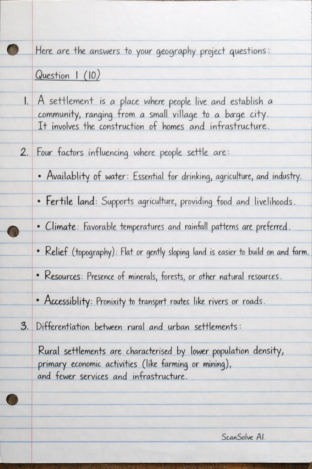
Here are the answers to your geography project questions:
Question 1 (10)
- A settlement is a place where people live and establish a community, ranging from a small village to a large city. It involves the construction of homes and infrastructure.
- Four factors influencing where people settle are:
- Availability of water: Essential for drinking, agriculture, and industry.
- Fertile land: Supports agriculture, providing food and livelihoods.
- Climate: Favorable temperatures and rainfall patterns are preferred.
- Relief (topography): Flat or gently sloping land is easier to build on and farm.
- Resources: Presence of minerals, forests, or other natural resources.
- Accessibility: Proximity to transport routes like rivers or roads.
- Differentiation between rural and urban settlements:
- Rural settlements are characterized by lower population density, primary economic activities (like farming or mining), and fewer services and infrastructure.
- Urban settlements have high population density, dominant secondary and tertiary economic activities (like manufacturing, retail, and services), and extensive infrastructure and specialized services.
Question 2 (10)
- Linear Settlement:
- Characteristic: Buildings are arranged in a long, narrow strip, typically along a road, river, or coastline.
- Advantage: Provides easy access to the main transport route for all residents.
- Nucleated (Clustered) Settlement:
- Characteristic: Buildings are grouped closely together around a central point, such as a crossroads, a church, or a water source.
- Advantage: Fosters strong community ties and allows for efficient sharing of services and infrastructure.
- Dispersed Settlement:
- Characteristic: Individual houses or farmsteads are spread out over a wide area, often separated by agricultural land.
- Advantage: Offers privacy, independence, and large plots of land for farming or other activities.
Question 3 (10)
Comparison of rural and urban settlements:
- Population:
- Rural: Generally has a low population density and a smaller overall population.
- Urban: Characterized by a high population density and a large, concentrated population.
- Employment:
- Rural: Employment is primarily in the primary sector (e.g., agriculture, forestry, mining, fishing).
- Urban: Employment is predominantly in the secondary sector (manufacturing, industry) and tertiary sector (services, retail, finance, administration).
- Housing:
- Rural: Often consists of detached houses, farmsteads, or small clusters of homes, with more open space.
- Urban: Features a diverse range of housing types, including apartments, townhouses, and detached homes, often with higher density.
- Services:
- Rural: Has limited access to specialized services (e.g., large hospitals, universities, diverse retail); basic services like small clinics and primary schools are common.
- Urban: Offers a wide array of specialized services (e.g., advanced healthcare, higher education, diverse shopping, entertainment, cultural facilities).
- Transport:
- Rural: Typically has limited public transport options and relies more on private vehicles; road networks may be less developed.
- Urban: Features extensive public transport networks (buses, trains, taxis) and well-developed road infrastructure, though often experiences traffic congestion.
Question 4 (10)
Research on a South African settlement: Johannesburg
- Province: Gauteng
- Population: Approximately 5.9 million (City of Johannesburg Metropolitan Municipality, 2021 estimate).
- Economic Activities: Financial services, mining (historically gold), manufacturing, retail, tourism, information technology. It is the economic hub of South Africa.
- Reasons people live there: Employment opportunities, access to quality education and healthcare, diverse cultural experiences, better infrastructure and services, and potential for economic growth.
- Challenges: High crime rates, traffic congestion, prevalence of informal settlements, high unemployment, significant income inequality, and pressure on public services and infrastructure.
Question 5 (10)
Description of an ideal settlement:
An ideal settlement would be designed for sustainability, accessibility, and a high quality of life, integrating natural features with well-planned infrastructure.
- Layout: The settlement would feature a central hub containing shops, a clinic, and a police station, ensuring easy access for all residents. A school would be strategically located nearby, connected by safe pedestrian and cycling paths.
- Residential Areas: Houses would be arranged in distinct neighborhoods, each with its own small green spaces and playgrounds, fostering a sense of community. Housing types would be varied to accommodate different needs.
- Transport: A comprehensive and efficient road network would connect all parts of the settlement, complemented by dedicated pedestrian walkways and cycling paths. An integrated public transport system (e.g., electric buses) would reduce reliance on private cars.
- Natural Features: A river or dam would be a central and protected feature, providing a natural aesthetic, recreational opportunities (like parks along its banks), and a sustainable water source. Green belts and parks would be abundant throughout the settlement.
- Key Facilities:
- Roads: A well-maintained network, possibly a mix of grid and curvilinear patterns, with clear signage.
- Houses: Energy-efficient and diverse in style, clustered to create distinct neighborhoods.
- School: Modern and well-equipped, centrally located within residential areas.
- Clinic: Easily accessible, offering comprehensive primary healthcare services.
- Shops: Grouped in a vibrant commercial center, including local businesses and essential services.
- Police Station: Centrally positioned for rapid response and community engagement.
- Park: Multiple green spaces, including a large central park for community events and smaller neighborhood parks for daily recreation.
- River/Dam: Integrated into the landscape with protected natural banks, walking trails, and designated recreational zones.
Was this helpful?
Still stuck on this one?
Ask a follow-up, and the answer starts from this question.
Got a different question?Ask your own question
More Geography Questions
QDiepdale Secondary School Grade 8 Geography Project - Term 3 (2026) Topic: Settlements Total: 50…QGrade 8: Settlement project. Key Questions: Why people live where they do? How is the land use of…QInvestigate a settlement. The project requires learners to investigate a settlement well known to…QThis document outlines a Geography research assignment for Grade 11 students in 2026.QCan you help me with geography grade 11 project
Handwritten Step-by-Step Solution
Get this as a handwritten image on WhatsApp — like a tutor wrote it for you.
Try on WhatsApp