
We read your photo as:
Describe the location and color coding for geographical features on a map of India for Activity 4.
Geography
ScanSolve AI Answer
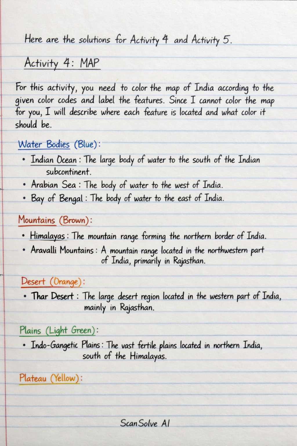
Here are the solutions for Activity 4 and Activity 5.
Activity 4: MAP
For this activity, you need to color the map of India according to the given color codes and label the features. Since I cannot color the map for you, I will describe where each feature is located and what color it should be.
- Water Bodies (Blue):
- Indian Ocean: The large body of water to the south of the Indian subcontinent.
- Arabian Sea: The body of water to the west of India.
- Bay of Bengal: The body of water to the east of India.
- Mountains (Brown):
- Himalayas: The mountain range forming the northern border of India.
- Aravalli Mountains: A mountain range located in the northwestern part of India, primarily in Rajasthan.
- Desert (Orange):
- Thar Desert: The large desert region located in the western part of India, mainly in Rajasthan.
- Plains (Light Green):
- Indo-Gangetic Plains: The vast fertile plains located in northern India, south of the Himalayas.
- Plateau (Yellow):
- Peninsular Plateau: The large plateau region covering much of central and southern India.
- Coastal Plains (Dark Green):
- Coastal Plains: The narrow strips of land along the eastern and western coasts of India.
- Islands (Purple):
- Lakshadweep Islands: A group of islands located in the Arabian Sea, southwest of the Indian mainland.
- Andaman & Nicobar Islands: A group of islands located in the Bay of Bengal, southeast of the Indian mainland.
Activity 5: CONTINENTS - OCEANS
Fill in the Blanks with Jumbled Letters:
- Asia (SAAI) is the largest continent in the world.
- Africa (FARIAC) is known as the "Dark Continent."
Was this helpful?
Still stuck on this one?
Ask a follow-up, and the answer starts from this question.
Got a different question?Ask your own question
More Geography Questions
QHow do you color a map of India using the provided color codes for different geographical features?QDraw a map of India, including mountain ranges, seas, deserts, and the Indian flag in the center.QFill in the blanks and write True/False based on the provided text about India's geography.QWrite true or false about India's geography and administrative divisions.QWhich colour is used to identify water body on a map? A Red B Green C Blue D Brown
Handwritten Step-by-Step Solution
Get this as a handwritten image on WhatsApp — like a tutor wrote it for you.
Try on WhatsApp