

This geography problem is solved step by step below, with detailed explanations to help you understand the method and arrive at the correct answer.
ScanSolve AI Answer
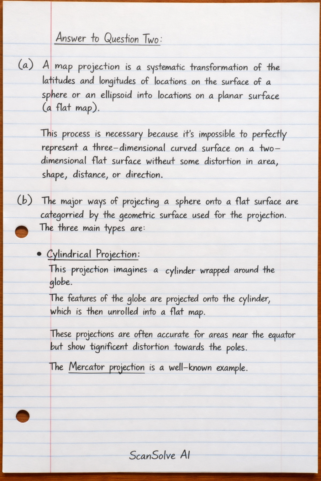
Here's the answer to Question Two: a) A map projection is a systematic transformation of the latitudes and longitudes of locations on the surface of a sphere or an ellipsoid into locations on a planar surface (a flat map). This process is necessary because it's impossible to perfectly represent a three-dimensional curved surface on a two-dimensional flat surface without some distortion in area, shape, distance, or direction. b) The major ways of projecting a sphere onto a flat surface are categorized by the geometric surface used for the projection. The three main types are: • Cylindrical Projection: This projection imagines a cylinder wrapped around the globe. The features of the globe are projected onto the cylinder, which is then unrolled into a flat map. These projections are often accurate for areas near the equator but show significant distortion towards the poles. The Mercator projection is a well-known example. • Conical Projection: This projection uses a cone placed over the globe, typically touching or intersecting the globe at one or two standard parallels. Features are projected onto the cone, which is then unrolled. Conical projections are generally good for mapping mid-latitude regions and preserve shape and area reasonably well within those regions. • Planar (or Azimuthal) Projection: This projection involves projecting the globe onto a flat plane that touches the globe at a single point, usually one of the poles or a point on the equator. These projections are best for showing polar regions or for maintaining accurate distances and directions from the central point of projection. The Gnomonic projection is an example. Last free one today — make it count tomorrow, or type /upgrade for unlimited.