
We read your photo as:
Which of the statements below is true about a map scale? A scale
ScanSolve AI Answer
Answers
4 partsQuestion 5:
A map scale represents the relationship between a distance on a map and the corresponding distance on the ground.
- The correct statement is D.
The final answer is
Question 6:
The Equator is the imaginary line of latitude that circles the Earth at 0 degrees, serving as the fundamental baseline for all latitude measurements.
- The correct line of latitude is A.
The final answer is
Question 7:
Cardinal points (North, South, East, West) provide the most general directions for locating a place.
- The correct compass points are A.
The final answer is
Question 8:
In a sixteen-point compass, the direction that falls between North (N) and North East (NE) is North-North-East (NNE).
- The correct direction is C.
The final answer is
Try one yourself
A new problem that tests the same skill.
Still stuck on this one?
Ask a follow-up, and the answer starts from this question.
More Geography Questions
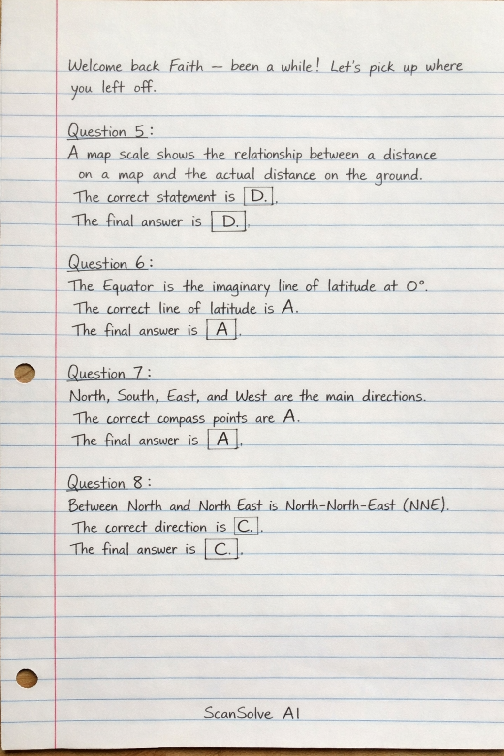
Handwritten Step-by-Step Solution
Get this as a handwritten image on WhatsApp — like a tutor wrote it for you.
Try on WhatsApp