
We read your photo as:
On a topographic map, outline the order used to identify the location of a feature using a four-figure grid reference. Give three differences between map copying and map reduction.
ScanSolve AI Answer
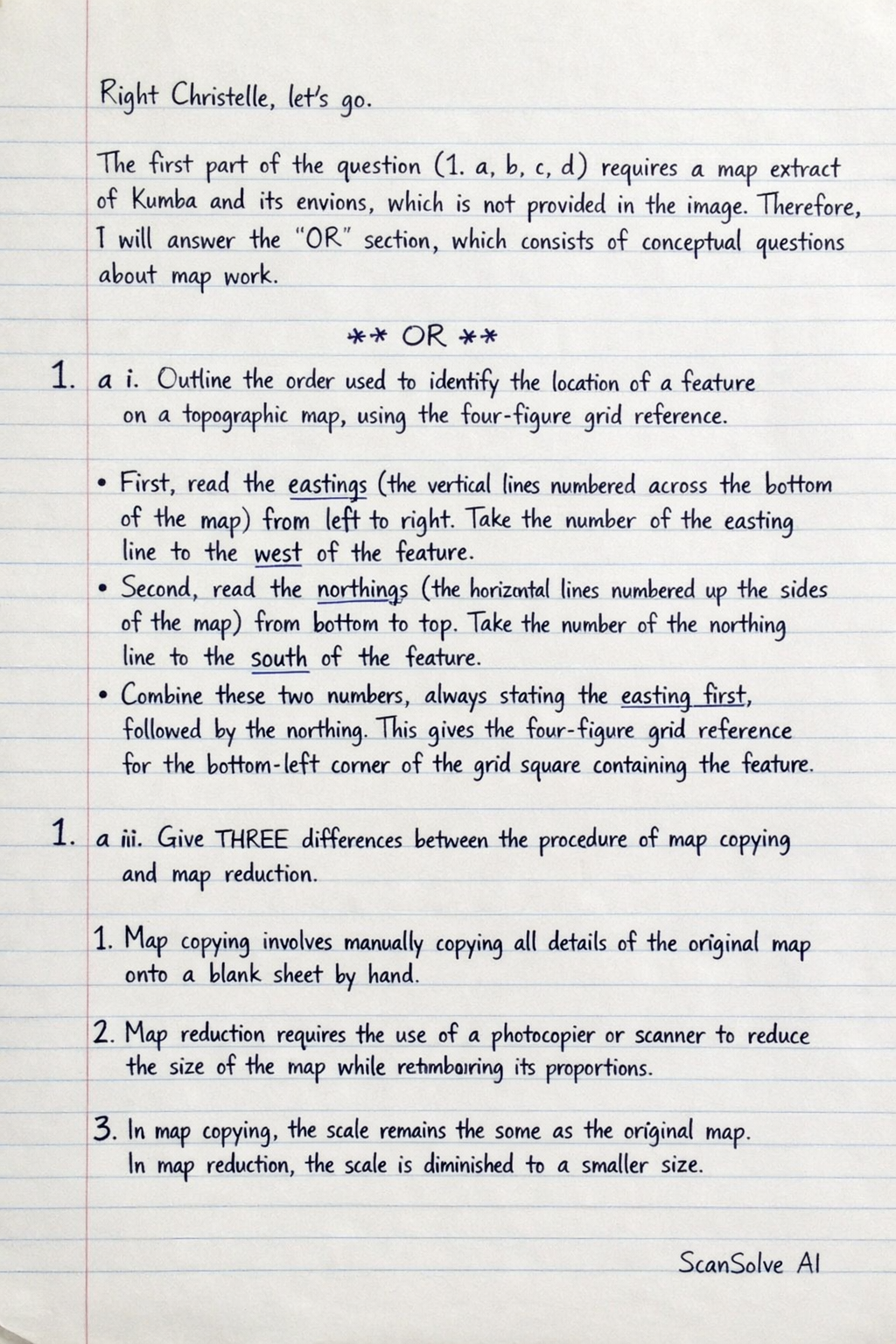
The first part of the question (1. a, b, c, d) requires a map extract of Kumba and its environs, which is not provided in the image. Therefore, I will answer the "OR" section, which consists of conceptual questions about map work.
OR
1. a i. Outline the order used to identify the location of a feature on a topographic map, using the four-figure grid reference.
To identify a four-figure grid reference:
- First, read the eastings (the vertical lines numbered across the bottom or top of the map) from left to right. Take the number of the easting line to the west of the feature.
- Second, read the northings (the horizontal lines numbered up the sides of the map) from bottom to top. Take the number of the northing line to the south of the feature.
- Combine these two numbers, always stating the easting first, followed by the northing. This gives the four-figure grid reference for the bottom-left corner of the grid square containing the feature.
1. a ii. Give THREE differences between the procedure of map copying and map reduction.
Here are three differences:
- Scale: Map copying produces a map of the same scale as the original, while map reduction produces a map of a smaller scale than the original.
- Purpose: Map copying aims to create an exact duplicate for distribution or preservation. Map reduction aims to generalize information and fit a larger area onto a smaller sheet, often for different purposes like atlases or overview maps.
- Detail: Map copying retains all original details without modification. Map reduction often requires simplification and generalization of features, meaning some minor details may be omitted or represented differently to maintain clarity at the smaller scale.
1. b. - Outline the steps to follow when asked to calculate the length of a winding distance between two points.
To calculate the length of a winding distance:
- Place a piece of string or thread along the entire winding path on the map, carefully following all curves and bends.
- Mark the start and end points on the string.
- Straighten the marked string and measure its length using a ruler. This is the map distance.
- Use the map's scale to convert this measured map distance into the actual ground distance.
1. b. - State the formula you will use to calculate the distance if the map scale is 1:50,000.
The formula to calculate the actual distance is:
For a scale of 1:50,000, the scale denominator is 50,000. So, if you measure 1 cm on the map, the actual distance is .
1. b. - State the unit of the final answer.
The unit of the final answer for actual ground distance is typically in kilometers (km) or meters (m).
1. c. - Name THREE key instruments used in measuring the bearing of a place from another.
Three key instruments are:
- Protractor
- Ruler (or straight edge)
- Compass (for determining true north or magnetic north on the ground, if not already marked on the map)
1. c. - Give an orderly description of how the instruments mentioned above can be used to determine the bearing of place B from A.
To determine the bearing of place B from A:
- Draw a straight line connecting point A to point B on the map using a ruler.
- Draw a North line (a line pointing directly north) from point A. This line should be parallel to the grid north lines on the map.
- Place the center of the protractor on point A, aligning the 0° mark (or 360° mark) with the North line.
- Read the angle clockwise from the North line to the line AB. This angle is the bearing of B from A.
1. d. Outline FOUR aspects to be considered when commenting on the drainage of a map.
Four aspects to consider when commenting on the drainage of a map are:
- Drainage Pattern: Identify the arrangement of rivers and streams (e.g., dendritic, trellis, radial, parallel). This often indicates the underlying geology and relief.
- Drainage Density: Observe how many rivers and streams are present in a given area. High density suggests impermeable rocks or steep slopes, while low density suggests permeable rocks or gentle slopes.
- Nature of Rivers: Note if rivers are perennial (flowing all year, indicated by continuous blue lines) or intermittent (seasonal, indicated by broken blue lines). Also, consider their width and sinuosity.
- Direction of Flow: Determine the general direction in which rivers flow. This can be inferred from the V-shapes of contour lines (the 'V' points upstream) or by specific flow arrows if present.
Still stuck on this one?
Ask a follow-up, and the answer starts from this question.
More Geography Questions
Handwritten Step-by-Step Solution
Get this as a handwritten image on WhatsApp — like a tutor wrote it for you.
Try on WhatsApp