
We read your photo as:
What are the geographical regions, districts, economic activities, and map elements of Uganda?
ScanSolve AI Answer
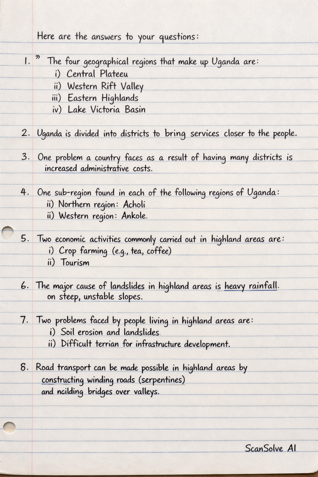
Here are the answers to your questions:
-
The four geographical regions that make up Uganda are: i) Central Plateau ii) Western Rift Valley iii) Eastern Highlands iv) Lake Victoria Basin
-
Uganda is divided into districts to bring services closer to the people.
-
One problem a country faces as a result of having many districts is increased administrative costs.
-
One sub-region found in each of the following regions of Uganda: i) Northern region: Acholi ii) Western region: Ankole
-
Two economic activities commonly carried out in highland areas are: i) Crop farming (e.g., tea, coffee) ii) Tourism
-
The major cause of landslides in highland areas is heavy rainfall on steep, unstable slopes.
-
Two problems faced by people living in highland areas are: i) Soil erosion and landslides ii) Difficult terrain for infrastructure development
-
Road transport can be made possible in highland areas by constructing winding roads (serpentines) and building bridges over valleys.
-
Two elements of a good map are: i) Title ii) Key/Legend
-
An island is a piece of land completely surrounded by water.
-
The two island districts in Uganda are: i) Kalangala District ii) Buvuma District
-
One factor that hinders economic development in island districts is poor transport infrastructure.
-
A map is a symbolic representation of an area, often to scale, showing features and their relationships, while a picture is a visual representation that shows what something looks like from a specific viewpoint without necessarily being to scale or having symbolic meaning.
-
Which problem is a map reader likely to face when reading a map without; a) A key: ✅ Correct. Failure to interpret symbols used. b) A title: ✅ Correct. Failure to know the extent or purpose of the area presented.
Still stuck on this one?
Ask a follow-up, and the answer starts from this question.
More Geography Questions
Handwritten Step-by-Step Solution
Get this as a handwritten image on WhatsApp — like a tutor wrote it for you.
Try on WhatsApp