
This geography problem is solved step by step below, with detailed explanations to help you understand the method and arrive at the correct answer.
ScanSolve AI Answer
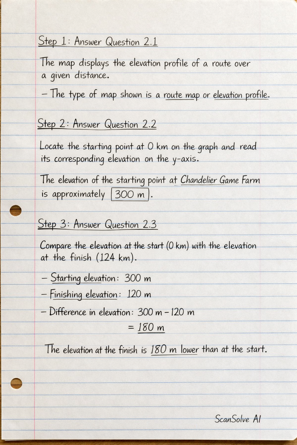
Step 1: Answer Question 2.1** The map displays the elevation profile of a route over a given distance. The type of map shown is a route map or elevation profile*. Step 2: Answer Question 2.2 Locate the starting point at 0 km on the graph and read its corresponding elevation on the y-axis. The elevation of the starting point at Chandelier Game Farm is approximately 300 m. Step 3: Answer Question 2.3 Compare the elevation at the start (0 km) with the elevation at the finish (124 km). Starting elevation: approximately 300 m. Finishing elevation