
This geography problem is solved step by step below, with detailed explanations to help you understand the method and arrive at the correct answer.
ScanSolve AI Answer
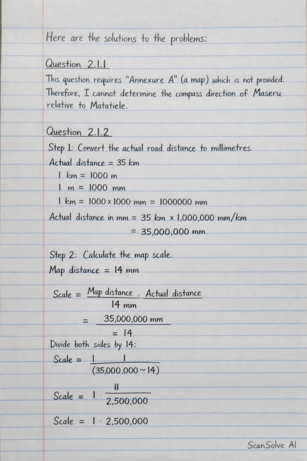
Here are the solutions to the problems: Question 2.1.1 This question requires "Annexure A" (a map) which is not provided. Therefore, I cannot determine the compass direction of Maseru relative to Matatiele. Question 2.1.2 Step 1: Convert the actual road distance to millimetres. Given actual distance = 35 km. We know that 1 km = 1000 m and 1 m = 1000 mm. So, 1 km = 1000 × 1000 mm = 1000000 mm. Actual distance in mm = 35 km × 1000000 mm/km = 35000000 mm Step 2: Calculate the map scale. The map distance is 14 mm. The scale is given by the ratio of map distance to actual distance. Scale = Map distanceActual distance = 14 mm35000000 mm To express this as a ratio 1:X, we divide both sides by 14: Scale = 1 : (35000000)/(14) Scale = 1 : 2500000 Step 3: Compare the calculated scale with the claimed scale. The calculated scale is 1 : 2500000. The claimed scale is 1 : 500000. Since 1 : 2500000 ≠ 1 : 500000, the traveler's claim is incorrect. The traveler's claim that the map scale is exactly 1 : 500000 is incorrect. Question 2.1.3 Step 1: Calculate the driving time. Given distance = 195 km and average speed = 105 km/h. Driving time = DistanceSpeed = 195 km105 km/h Driving time = (195)/(105) hours = (13)/(7) hours To convert this to hours and minutes: (13)/(7) hours ≈ 1.857 hours The whole hour part is 1 hour. The minutes part is 0.857 hours × 60 minutes/hour ≈ 51.42 minutes. So, driving time is approximately 1 hour and 51 minutes (rounding to the nearest minute for practical travel time). Step 2: Calculate the total travel time including the coffee break. Driving time = 1 hour 51 minutes. Coffee break = 20 minutes. Total travel time = 1 hour 51 minutes + 20 minutes Total travel time = 1 hour 71 minutes Since 71 minutes is 1 hour and 11 minutes: Total travel time = 1 hour + 1 hour 11 minutes = 2 hours 11 minutes Step 3: Determine the arrival time. Departure time = 08:15. Add the total travel time (2 hours 11 minutes) to the departure time. 08:15 + 2 hours 11 minutes = 10:26 The arrival time in Kokstad is approximately 10:26. 3 done, 2 left today. You're making progress.