
We read your photo as:
إذا كان مقياس الرسم لخرائط 1 : 300,000 ، فما هو مقياس الرسم الذي يمثله 1 سم على الخريطة ،200,000 سم على الطبيعة؟
Mathematics
ScanSolve AI Answer
Answer
Step-by-step solution
6 steps1)
تحديد المعطيات والصيغة لحساب المسافة الحقيقية.
مقياس الرسم هو .
المسافة على الخريطة هي .
لحساب المسافة الحقيقية، نضرب المسافة على الخريطة في عامل مقياس الرسم.حساب المسافة الحقيقية بالسنتيمتر.
تحويل المسافة الحقيقية من السنتيمتر إلى الكيلومتر.
نعلم أن .
المسافة الحقيقية هي .
2)
تحديد المعطيات وتحويل المسافة الحقيقية إلى سنتيمتر.
مقياس الرسم هو .
المسافة الحقيقية هي .
نحول المسافة الحقيقية من الأمتار إلى السنتيمترات:حساب المسافة على الخريطة بالسنتيمتر.
لحساب المسافة على الخريطة، نقسم المسافة الحقيقية على عامل مقياس الرسم.
تبسيط الحساب لإيجاد المسافة على الخريطة.
المسافة على الخريطة هي .
Was this helpful?
Try one yourself
A new problem that tests the same skill.
Still stuck on this one?
Ask a follow-up, and the answer starts from this question.
Got a different question?Ask your own question
More Mathematics Questions
QThe scale is 1:5,000,000. Convert 1 cm on the map to kilometers.QA surveyor is measuring distances on a map. If the scale is 1 cm : 250 m, what are the scale drawing…QA road which is 300 km long is represented on a map by 6cm. What scale is used to represent this…QIf the distance between two points is 1 cm on a 1:50 000 map, what would the distance in cm on a…QWhat is the real-world distance represented by 1 cm on a map with a scale of 1:4,500,000?
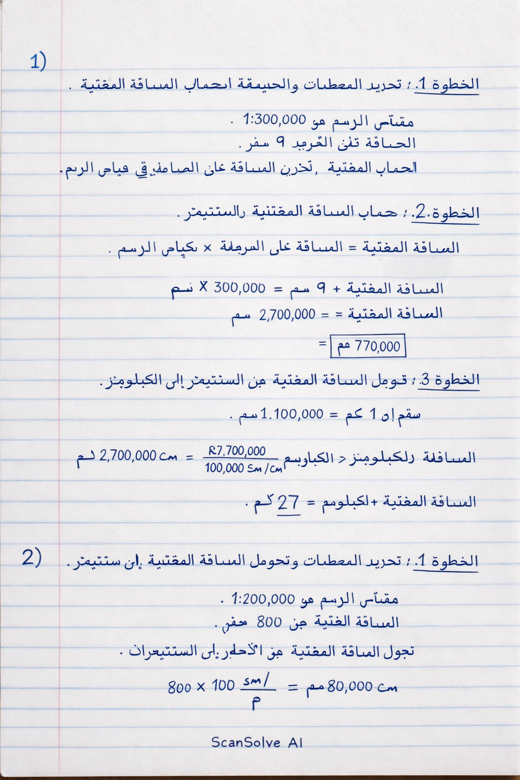
Handwritten Step-by-Step Solution
Get this as a handwritten image on WhatsApp — like a tutor wrote it for you.
Try on WhatsApp