
This English question involves literary analysis, grammar, or writing skills. The detailed response below provides a well-structured answer with supporting evidence and clear explanations.
ScanSolve AI Answer
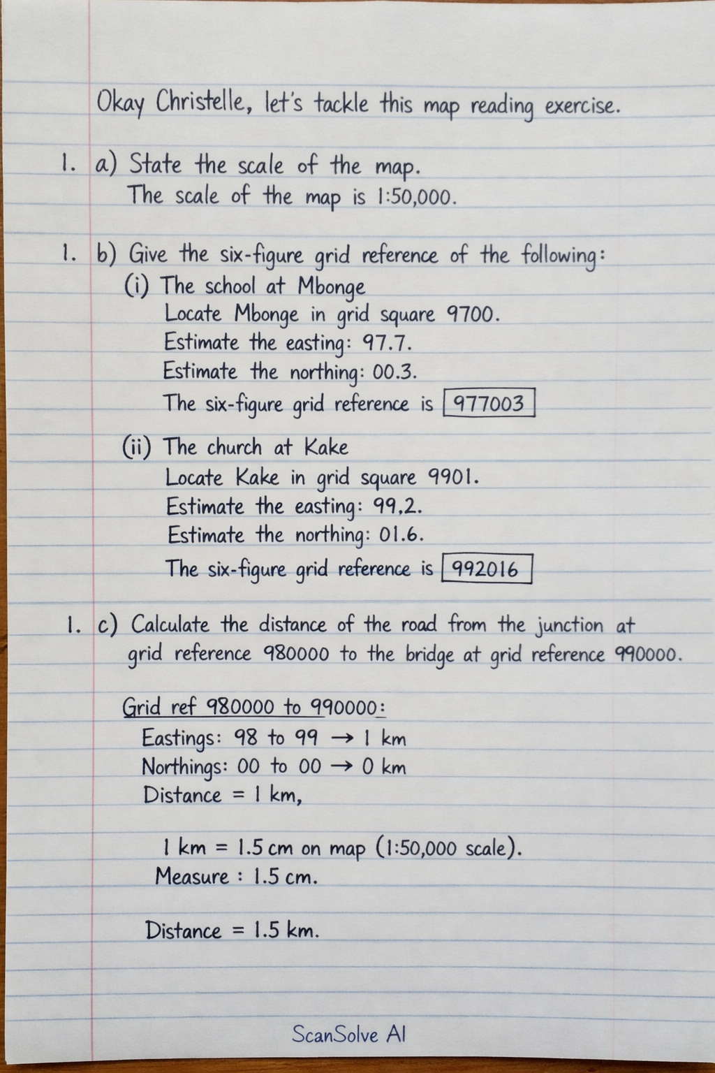
Okay Christelle, let's tackle this map reading exercise. 1. a) State the scale of the map. The scale of the map is 1:50,000. 1. b) Give the six-figure grid reference of the following: i) The school at Mbonge Locate Mbonge and the school symbol (a flag) within grid square 9700. Estimate the easting: approximately 7 tenths from 97. Estimate the northing: approximately 3 tenths from 00. The six-figure grid reference is 977003. ii) The church at Kake Locate Kake and the church symbol (a cross) within grid square 9901. Estimate the easting: approximately 2 tenths from 99. Estimate the northing: approximately 6 tenths from 01. The six-figure grid reference is 992016. 1. c) Calculate the distance of the road from the junction at grid reference 980000 to the bridge at grid reference 990000. Step 1: Identify the points on the map. The junction at 980000 is at the bottom-left corner of grid square 9800. The bridge at 990000 is at the bottom-left corner of grid square 9900. This means we are measuring the distance along the 00 northing line, from easting 98 to easting 99. Step 2: Determine the ground distance represented by one grid square. On a 1:50,000 scale map, each grid square represents 1 km × 1 km on the ground. Step 3: Calculate the total distance. The distance from easting 98 to easting 99 is exactly one grid square. Therefore, the distance of the road is 1 km. 1. d) Calculate the area of the forest reserve at grid reference 990000. Step 1: Identify the grid square and the feature. Grid reference 990000 refers to the grid square 9900 (bounded by eastings 99 and 00, and northings 00 and 01). The forest reserve is indicated by green shading within this square. Step 2: Determine the area of one grid square. On a 1:50,000 scale map, one grid square has an area of 1 km × 1 km = 1 km^2. Step 3: Estimate the proportion of the square covered by the forest reserve. Visually, the forest reserve covers almost the entire grid square 9900, with only minor exceptions like a road and a very small non-forested patch in the southwest corner. Estimating the covered area, it is approximately 90-95% of the square. Step 4: Calculate the approximate area. Area ≈ 0.9 × 1 km^2 = 0.9 km^2 (Note: This is an estimation due to the visual clarity of the map.) 1. e) Describe the relief of the area shown on the map. The relief of the area is generally undulating, characterized by a mix of gentle and moderate slopes. The contour lines indicate that the land is relatively low-lying in the central part, where the Mungo River flows, suggesting a river valley. The river appears to flow from the north towards the south or southwest. There are areas of higher ground, particularly in the south-western and possibly the north-eastern sections of the map, where contour lines appear to be closer together, indicating steeper gradients. Overall, the landscape is not flat but rather gently rolling with some elevated areas and a distinct riverine depression. 3 done, 2 left today. You're making progress.