
We read your photo as:
1.1 Name the two oceans on the map. 4.1.2 What type of scale is shown on the map? 4.1.3 Use the scale to calculate the actual distance in kilometre (km) between Bloemfontein and Messina, to the neares
Geography
ScanSolve AI Answer
Step-by-step solution
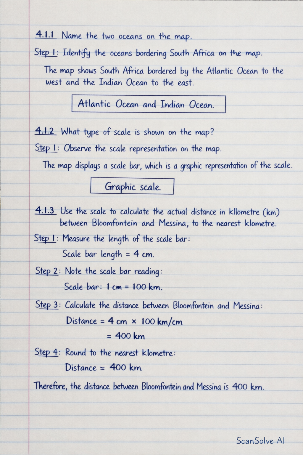
3 steps4.1.1 Name the two oceans on the map.
Identify the oceans bordering South Africa on the map.
The map shows South Africa bordered by the Atlantic Ocean to the west and the Indian Ocean to the east.
4.1.2 What type of scale is shown on the map?
Observe the scale representation on the map.
The map displays a scale bar, which is a graphic representation of the scale.
4.1.3 Use the scale to calculate the actual distance in kilometre (km) between Bloemfontein and Messina, to the nearest kilometre.
Measure the length of the scale bar (
Was this helpful?
Still stuck on this one?
Ask a follow-up, and the answer starts from this question.
Got a different question?Ask your own question
More Geography Questions
QDefine scale. 2. What type of scale is used in the map? Explain. 3. Calculate the straight-line…QUse the map to answer the following questions: 1. Name the country that borders South Africa to the…QYou are provided with a map of Bloemfontein and asked to answer questions 1.2, 1.3, 1.4, 1.5, 2…QIdentify the type of scale used on the map and calculate the actual distance between Jansenville and…QCalculate the actual distance between Keetmanshoop and Windhoek, and determine the number scale of…
Handwritten Step-by-Step Solution
Get this as a handwritten image on WhatsApp — like a tutor wrote it for you.
Try on WhatsApp