
We read your photo as:
A) Latitudes are imaginary horizontal lines that circle the Earth, parallel to the Equator. They measure the distance north or south of the Equator, ranging from 0^ at the Equator to $90^
ScanSolve AI Answer
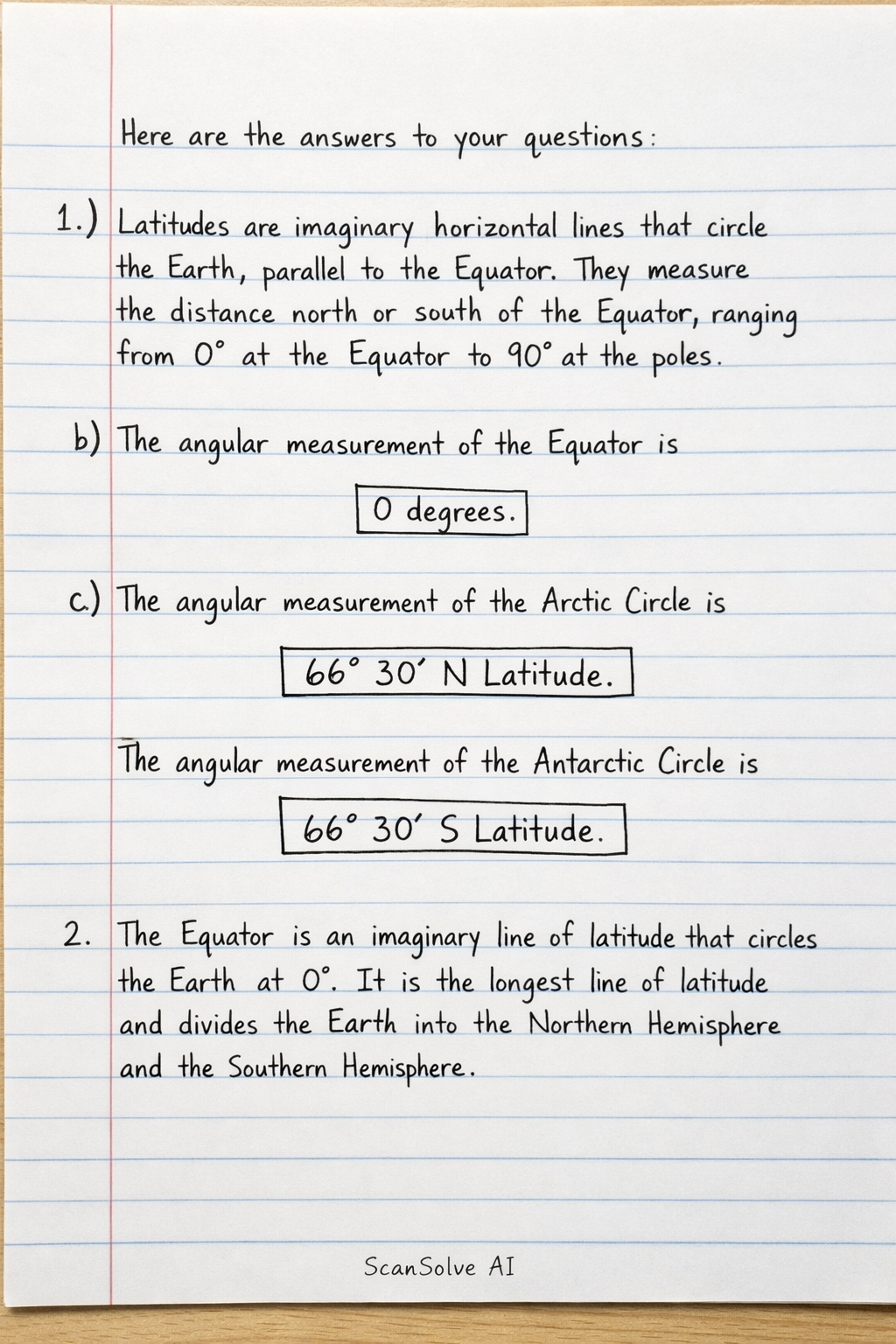
Here are the answers to your questions:
-
a) Latitudes are imaginary horizontal lines that circle the Earth, parallel to the Equator. They measure the distance north or south of the Equator, ranging from at the Equator to at the poles.
b) The angular measurement of the Equator is .
c) The angular measurement of the Arctic Circle is . The angular measurement of the Antarctic Circle is .
-
The Equator is an imaginary line of latitude that circles the Earth at . It is the longest line of latitude and divides the Earth into the Northern Hemisphere and the Southern Hemisphere.
-
To draw a picture of a globe and indicate the major latitudes:
- Draw a circle to represent the Earth.
- Draw a horizontal line across the middle, labeling it the Equator ().
- Above the Equator, draw two parallel lines: one at N, labeled Tropic of Cancer, and another at N, labeled Arctic Circle.
- Below the Equator, draw two parallel lines: one at S, labeled Tropic of Capricorn, and another at S, labeled Antarctic Circle.
- Mark the top point as the North Pole ( N) and the bottom point as the South Pole ( S).
Still stuck on this one?
Ask a follow-up, and the answer starts from this question.
More Geography Questions
Handwritten Step-by-Step Solution
Get this as a handwritten image on WhatsApp — like a tutor wrote it for you.
Try on WhatsApp