

This geography problem is solved step by step below, with detailed explanations to help you understand the method and arrive at the correct answer.
ScanSolve AI Answer
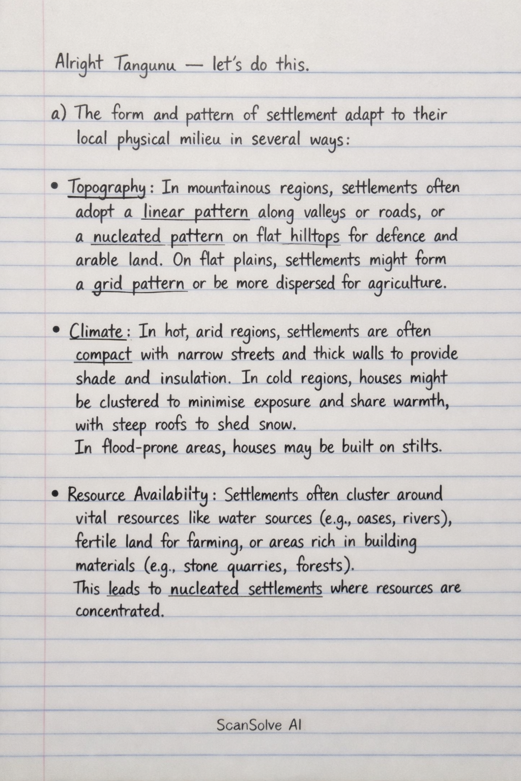
Alright Tangunu — let's do this. a) The form and pattern of settlement adapt to their local physical milieu in several ways: • Topography: In mountainous regions, settlements often adopt a linear pattern along valleys or roads, or a nucleated pattern on flat hilltops for defense and arable land. On flat plains, settlements might form a grid pattern or be more dispersed for agriculture. • Climate: In hot, arid regions, settlements are often compact with narrow streets and thick walls to provide shade and insulation. In cold regions, houses might be clustered to minimize exposure and share warmth, with steep roofs to shed snow. In flood-prone areas, houses may be built on stilts. • Resource Availability: Settlements often cluster around vital resources like water sources (e.g., oases, rivers), fertile land for farming, or areas rich in building materials (e.g., stone quarries, forests). This leads to nucleated settlements where resources are concentrated. b) Measures designed to solve urban problems: i) Urban sprawl: • Smart Growth Policies: These promote compact, mixed-use development, walkable neighborhoods, and the preservation of open spaces and farmlands. • Urban Growth Boundaries (UGBs): Legal lines drawn around cities to limit outward expansion, encouraging infill development and higher densities within the existing urban area. • Investment in Public Transportation: Developing efficient public transit networks reduces reliance on private cars, making compact, transit-oriented development more feasible and reducing the need for extensive road infrastructure that facilitates sprawl. ii) Pollution: • Stricter Emission Standards: Implementing and enforcing regulations on industrial emissions and vehicle exhaust to reduce air pollutants. • Waste Management and Recycling Programs: Developing comprehensive waste collection, recycling, and composting initiatives to reduce landfill waste and prevent environmental contamination. • Investment in Renewable Energy: Shifting from fossil fuels to cleaner energy sources like solar and wind power to reduce air pollution and greenhouse gas emissions. • Wastewater Treatment: Building and upgrading wastewater treatment plants to ensure that sewage and industrial effluents are treated before being discharged into water bodies. c) Explanation of concepts: i) Rank size rule: This is a geographical concept that describes a common pattern in the distribution of city sizes within a country. It states that the population of a city is inversely proportional to its rank in the urban hierarchy. For example, if the largest city has a population P_1, the second largest city will have a population of approximately P_1/2, the third largest P_1/3, and so on. ii) Sub urbanization: This refers to the process of population movement from central urban areas into surrounding suburbs, leading to the growth of these peripheral areas. It is often driven by factors such as the desire for larger homes, better schools, lower crime rates, and increased car ownership, resulting in the expansion of urban areas outwards. d) Site and situation have profoundly influenced the development of Douala, Cameroon. • Site: Douala's original site on the Wouri River estuary, close to the Atlantic Ocean, provided a natural harbor and access to water for transport and fishing. The relatively flat terrain near the coast allowed for easier construction and expansion. This physical location was ideal for establishing a port. • Situation: Douala's strategic situation as Cameroon's primary port city on the Atlantic coast made it the main gateway for international trade. It serves as a crucial link between Cameroon's resource-rich interior (e.g., agricultural products, timber, oil) and global markets. Its excellent connectivity to the hinterland via road and rail, and its role as a hub for trade with landlocked Central African countries, cemented its position as the economic capital and largest city of Cameroon. Send me the next one 📸