
We read your photo as:
Assess the geomorphology of Kyamushumi Hill, Nsika, considering slope stability and hazard risks for a proposed housing estate.
ScanSolve AI Answer
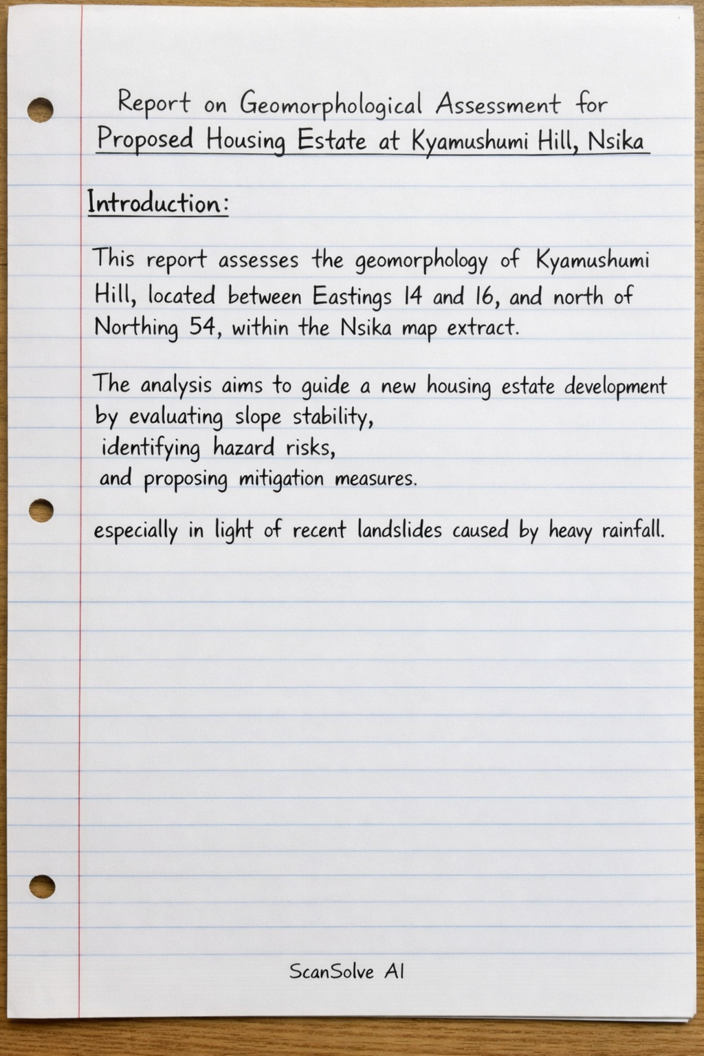
Report on Geomorphological Assessment for Proposed Housing Estate at Kyamushumi Hill, Nsika
Introduction:
This report assesses the geomorphology of Kyamushumi Hill, located between Eastings 14 and 16, and north of Northing 54, within the Nsika map extract. The analysis aims to guide a new housing estate development by evaluating slope stability, identifying hazard risks, and proposing mitigation measures, especially in light of recent landslides caused by heavy rainfall.
Geomorphological Characteristics:
- Topography and Slopes: The map extract indicates a varied topography across Kyamushumi Hill. Areas with closely spaced contour lines suggest steep slopes, while other sections exhibit gentler gradients. This dissected terrain implies significant elevation changes and varied slope angles.
- Drainage Patterns: A prominent dendritic drainage pattern is observed, with numerous streams and tributaries dissecting the hill. This dense network facilitates rapid surface runoff during rainfall but also indicates areas prone to water infiltration and potential erosion, particularly on steeper, less stable slopes.
Slope Stability Assessment:
The slopes of Kyamushumi Hill are inherently prone to instability, as evidenced by the recent landslides following heavy rains. This instability is primarily attributed to steep gradients, the saturation of weathered soil and rock by intense rainfall (which significantly reduces shear strength), and potentially the presence of susceptible geological materials.
Hazard Risks for Proposed Housing Estate:
Developing a housing estate in this area presents several significant hazard risks:
- Landslides and Mudflows: This is the primary and most immediate hazard, capable of destroying property and endangering lives.
- Erosion: Surface and gully erosion can undermine building foundations and degrade land quality over time.
- Flash Flooding: Intense rainfall can lead to rapid runoff and localized flash floods in valleys and drainage channels, impacting low-lying structures.
Recommended Mitigation Measures:
To ensure the safety and sustainability of the proposed housing estate, the following measures are recommended:
- Conduct a detailed geotechnical survey of all specific development sites to understand soil properties and subsurface conditions.
- Avoid construction on steep slopes exceeding critical angles or in areas identified as highly unstable.
- Implement robust engineered drainage systems, including culverts and storm drains, to effectively manage surface runoff and prevent soil saturation.
- Utilize slope stabilization techniques such as retaining walls, terracing, or soil nailing on moderately steep slopes where development is unavoidable.
- Promote afforestation and revegetation with deep-rooted plant species on unstable slopes to enhance soil binding and reduce erosion.
- Establish adequate setback distances from slope crests, toes, and active drainage channels for all structures.
- Enforce strict building codes and standards specifically designed for hillside construction.
Conclusion:
The development of a housing estate on Kyamushumi Hill necessitates careful planning and comprehensive mitigation strategies due to the inherent slope instability and associated hazards. A thorough geomorphological and geotechnical assessment, coupled with the diligent implementation of appropriate engineering and ecological measures, is critical to minimize risks and ensure the long-term safety and viability of the proposed development.
Still stuck on this one?
Ask a follow-up, and the answer starts from this question.
More Geography Questions
Handwritten Step-by-Step Solution
Get this as a handwritten image on WhatsApp — like a tutor wrote it for you.
Try on WhatsApp