
We read your photo as:
Describe the changes likely to occur along the meandering river channel shown in Fig. 1 over a long period of time.
Geography
ScanSolve AI Answer
a)
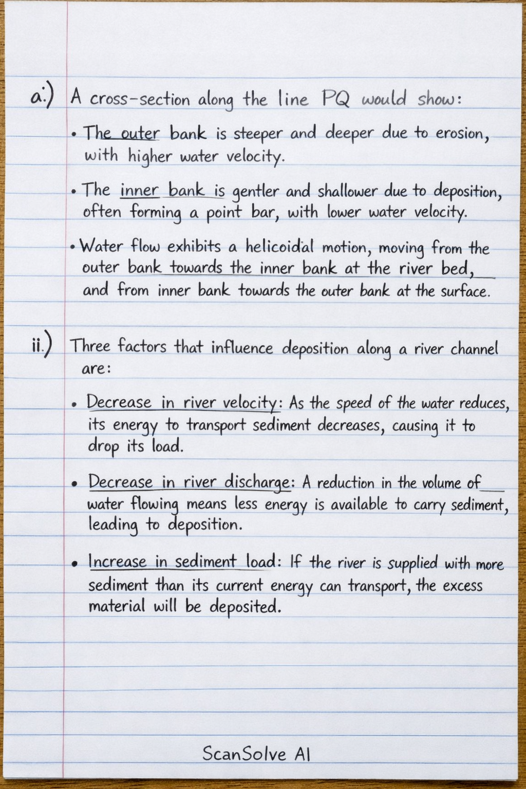
i) A cross-section along the line PQ (across the meander) would show:
- The outer bank is steeper and deeper due to erosion, with higher water velocity.
- The inner bank is gentler and shallower due to deposition, often forming a point bar, with lower water velocity.
- Water flow exhibits a helicoidal motion, moving from the outer bank towards the inner bank at the river bed, and from the inner bank towards the outer bank at the surface.
ii) Three factors that influence deposition along a river channel are:
- Decrease in river velocity: As the speed of the water reduces, its energy to transport sediment decreases, causing it to drop its load.
- Decrease in river discharge: A reduction in the volume of water flowing means less energy is available to carry sediment, leading to deposition.
- Increase in sediment load: If the river is supplied with more sediment than its current energy can transport, the excess material will be deposited.
iii) Over a long period of time, the meandering river channel shown in Fig. 1 will undergo the following changes:
- Increased meander amplitude: Continuous erosion on the outer bends and deposition on the inner bends will cause the meanders to become more pronounced and migrate downstream.
- Narrowing of the meander neck: As the outer bends erode towards each other, the land between two adjacent meanders (the meander neck) will become progressively narrower.
- Formation of an oxbow lake: Eventually, during a flood event, the river may cut through the narrow meander neck, creating a straighter channel. The abandoned meander loop will be cut off from the main flow, forming a crescent-shaped body of water known as an oxbow lake.
- Infilling of the oxbow lake: Over time, the oxbow lake will gradually fill with sediment and vegetation, eventually becoming a marsh or dry land.
b) Four ways in which human activities reduce the usefulness of rivers are:
- Pollution: Discharge of industrial waste, agricultural runoff (pesticides, fertilizers), and untreated domestic sewage contaminates river water, making it unsafe for drinking, fishing, and recreation.
- Dam construction: Dams alter the natural flow regime, disrupt fish migration, trap sediment (reducing downstream fertility), and can lead to water scarcity in lower reaches.
- Over-abstraction of water: Excessive withdrawal of water for irrigation, industrial use, and domestic supply reduces river flow, dries up sections, and harms aquatic ecosystems.
- Deforestation and land-use change: Removal of vegetation along river banks and in catchments increases soil erosion, leading to higher sediment loads in rivers, which can make them shallower and reduce water quality.
c) As an Arex Officer, I would provide the following evidence regarding settling along flood plains:
Advantages:
- Fertile Soil: "The land on flood plains is incredibly fertile due to the regular deposition of nutrient-rich silt (alluvium) by floods. This makes it ideal for agriculture, often yielding abundant crops with less need for artificial fertilizers."
- Flat Terrain: "Flood plains offer flat, easily accessible land, which simplifies construction of homes and infrastructure, and makes farming operations more efficient."
- Access to Water: "Proximity to the river provides a readily available source of water for irrigation, domestic use, and can facilitate transportation of goods and people."
Disadvantages:
- High Flood Risk: "The most significant danger is the recurring risk of flooding. While floods bring fertility, they can also destroy homes, crops, livestock, and infrastructure, leading to significant economic losses and potential loss of life."
- Disease Outbreaks: "After floods, stagnant water can become breeding grounds for disease-carrying mosquitoes and can contaminate water sources, leading to outbreaks of waterborne diseases like cholera and typhoid."
- Infrastructure Damage: "Roads, bridges, power lines, and communication networks are highly vulnerable to damage during floods, disrupting daily life, emergency services, and requiring costly repairs."
- Increased Insurance Costs: "Due to the inherent flood risk, property insurance premiums in flood plain areas are typically much higher, and building regulations may be stricter, increasing overall living and construction costs."
Was this helpful?
Still stuck on this one?
Ask a follow-up, and the answer starts from this question.
Got a different question?Ask your own question
More Geography Questions
QRefer to the FIGURE below of a fluvial feature and answer the questions that follow. Identify the…QDescribe the processes that the river in sketches B and C would undergo to reach a graded state.QFeatures formed in the three stages of a riverQThe velocity of the river in the meandering channel below is the fastest at...QExplain headward erosion and how it leads to river capture, identifying features and consequences.
Handwritten Step-by-Step Solution
Get this as a handwritten image on WhatsApp — like a tutor wrote it for you.
Try on WhatsApp