
We read your photo as:
Contour lines are lines drawn on a map to
ScanSolve AI Answer
Answer
Here are the answers to your questions, Faith.
Question 9:
Desertification is the process by which fertile land becomes desert, often due to human activities like deforestation and unsustainable agricultural practices.
-
Clear felling (assuming option B is "Clear felling" or "Clear cutting") involves removing all trees from an area, leading to significant soil erosion, loss of soil moisture, and ultimately desertification. Shifting cultivation can also contribute if not managed sustainably, but clear felling is a direct and major cause of deforestation.
-
The correct option is B.
The final answer is
Question 10:
Contour lines are a fundamental feature of topographic maps, used to represent the three-dimensional shape of the land on a two-dimensional surface.
-
Contour lines connect points of the same elevation above a reference level (usually sea level).
-
The correct option is A.
The final answer is
Try one yourself
A new problem that tests the same skill.
Still stuck on this one?
Ask a follow-up, and the answer starts from this question.
More Geography Questions
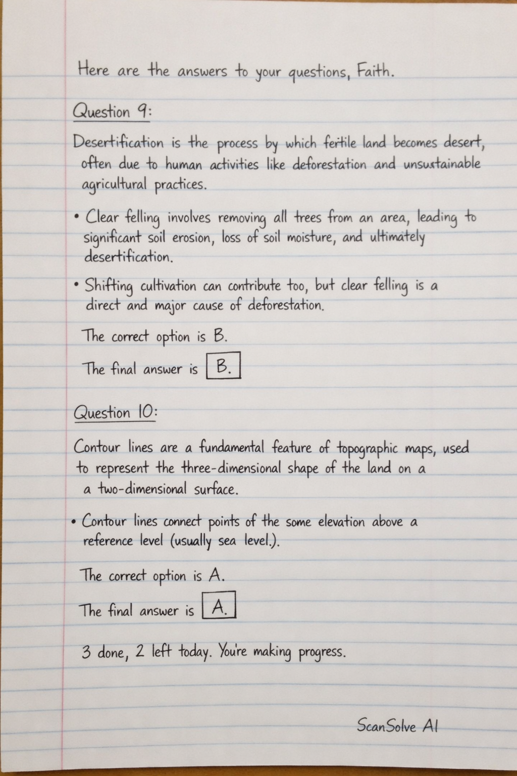
Handwritten Step-by-Step Solution
Get this as a handwritten image on WhatsApp — like a tutor wrote it for you.
Try on WhatsApp