
We read your photo as:
Draw your sketch map to show few landmarks, mountains, rivers and forest if any
Geography
ScanSolve AI Answer
Step-by-step solution
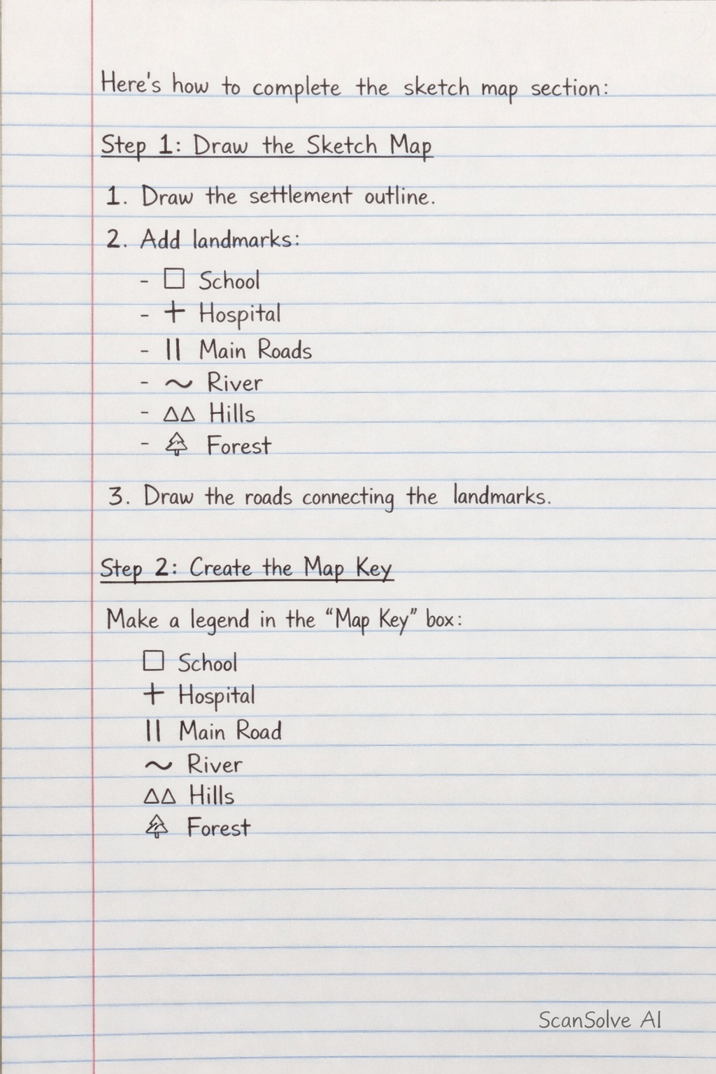
3 stepsHere's how to complete the sketch map section:
Draw the Sketch Map
On the blank space provided, draw a simplified representation of your chosen settlement. Include the following elements:
- Settlement Outline: Draw the general shape or boundary of your settlement.
- Man-made Landmarks: Based on your list from section 1.6, draw simple symbols or shapes to represent key man-made landmarks (e.g., a square for a school, a cross for a hospital, lines for main roads).
- Natural Landmarks: Based on your list from section 1.7, draw symbols for natural features (e.g., a wavy line for a river, small triangles for hills/mountains, shaded areas or tree symbols for forests).
- Roads: Include the main roads that connect different parts of the settlement or lead to neighboring towns.
Create the Map Key
In the "Map Key" box, create a legend that explains the symbols you used on your sketch map. For each symbol you drew, show the symbol and then write what it represents.
Symbol Description School Hospital River Hill/Mountain Forest Main Road Town Center Indicate Direction
In the "Direction" box, draw a compass rose or a simple North arrow to show the orientation of your map.
- Direction: Draw an arrow pointing upwards with a capital 'N' at the top, indicating North.
Was this helpful?
Still stuck on this one?
Ask a follow-up, and the answer starts from this question.
Got a different question?Ask your own question
More Geography Questions
QDraw a landscape sketch of the area and show physical and human features. Describe the relief and…QDraw a constructive margin, showing its key features. 2. Draw a world map and name/colour the…QDraw a map of India, including mountain ranges, seas, deserts, and the Indian flag in the center.QDraw a map of your community and explain special features?QDraw a simple sketch map of Nakasongola between Eastings 37 and 44 Northings 40 and 50, and on it…
Handwritten Step-by-Step Solution
Get this as a handwritten image on WhatsApp — like a tutor wrote it for you.
Try on WhatsApp