
We read your photo as:
Land-use: Draw or get a map of the area. Use a map and shade different areas with different colours to distinguish land use e.g. CBD, industrial area, different residential areas, shopping centres, services (schools, clinics, hospitals, police, recreation areas etc.) (5x1) (5)
ScanSolve AI Answer
Step-by-step solution
5 stepsThis question asks you to create a land-use map. Since I cannot draw or shade a physical map, I will explain the steps you need to follow to complete this task.
Obtain a Base Map
Find or draw a simple map of a specific area. This could be your neighborhood, a small town, or a section of a city. The map should show basic features like roads, major buildings, and open spaces.
Identify Land-Use Categories
The question specifies several land-use categories to distinguish:
- CBD (Central Business District): The commercial and business center of a city.
- Industrial Area: Areas primarily used for factories, manufacturing, and warehouses.
- Different Residential Areas: Areas where people live. These can be further divided (e.g., high-density apartments, low-density single-family homes).
- Shopping Centres: Commercial areas dedicated to retail stores.
- Services: Areas for public and private services, including:
- Schools
- Clinics/Hospitals
- Police stations
- Recreation areas (parks, sports fields)
Assign Colors to Each Category
Choose a distinct color for each type of land use. For example:
- Red for CBD
- Grey for Industrial Area
- Yellow for Residential (low-density)
- Orange for Residential (high-density)
- Blue for Shopping Centres
- Green for Recreation Areas
- Purple for Services (schools, hospitals, police)
Shade the Map
Using your chosen colors, carefully shade the corresponding areas on your map according to their primary land use. For instance, all areas identified as residential should be shaded yellow or orange, industrial areas grey, and so on.
Create a Map Key/Legend
Include a legend on your map that clearly shows which color represents each land-use category. This makes your map easy to understand.
This task requires you to physically draw and color, so you'll need to do it on paper.
Still stuck on this one?
Ask a follow-up, and the answer starts from this question.
More Geography Questions
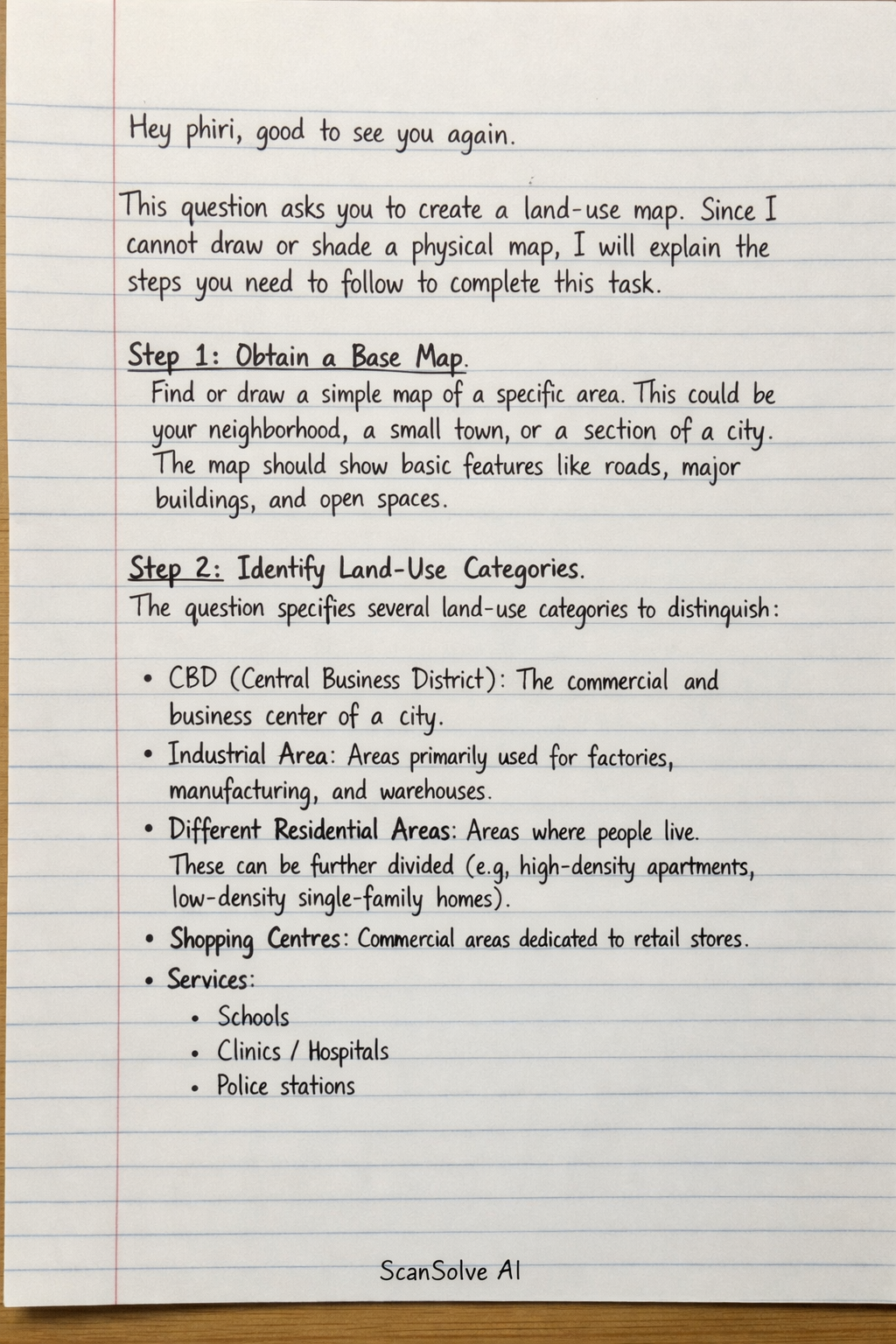
Handwritten Step-by-Step Solution
Get this as a handwritten image on WhatsApp — like a tutor wrote it for you.
Try on WhatsApp