
We read your photo as:
Put letters A to D on pointers on the photo to identify land-use. (Write the 5 land-uses you have identified in the spaces below)
ScanSolve AI Answer
Step-by-step solution
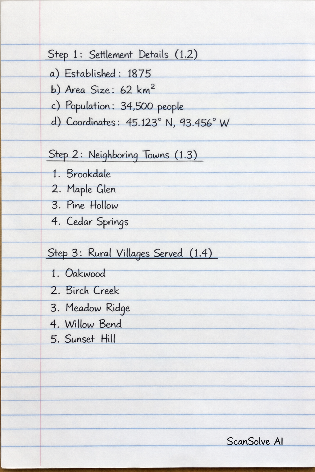
4 stepsHere's how to complete the sections on this page:
Settlement Details (1.2)
Fill in the specific information for your chosen settlement:
- a) When was the settlement established? Provide the founding year or period.
- b) What is the area size of this settlement? (how big it is) State the area, e.g., 50 km^2.
- c) Population: Provide the most recent population figure, e.g., 150,000 people.
- d) Geographical location coordinates: Provide the latitude and longitude, e.g., 25.7460° S, 28.1876° E.
Neighboring Towns (1.3)
List four towns that are geographically close to your chosen settlement. For example:
- Town A
- Town B
- Town C
- Town D
Rural Villages Served (1.4)
List five rural villages or communities that are economically or socially linked to your settlement, often relying on it for services or markets. For example:
- Village 1
- Village 2
- Village 3
- Village 4
- Village 5
Satellite View (Land Use Identification) (1.5)
This step requires you to look at the satellite view on Page 4 (which is not provided in the current image). Once you have that image, you will identify five different land uses and label them A, B, C, D, and E. Examples of land uses include:
- A: Residential (high-density)
- B: Commercial (retail/business district)
- C: Industrial (factories/warehouses)
- D: Agricultural (farmland)
- E: Recreational (parks/sports fields)
Still stuck on this one?
Ask a follow-up, and the answer starts from this question.
More Geography Questions
Handwritten Step-by-Step Solution
Get this as a handwritten image on WhatsApp — like a tutor wrote it for you.
Try on WhatsApp