

This geography problem is solved step by step below, with detailed explanations to help you understand the method and arrive at the correct answer.
ScanSolve AI Answer
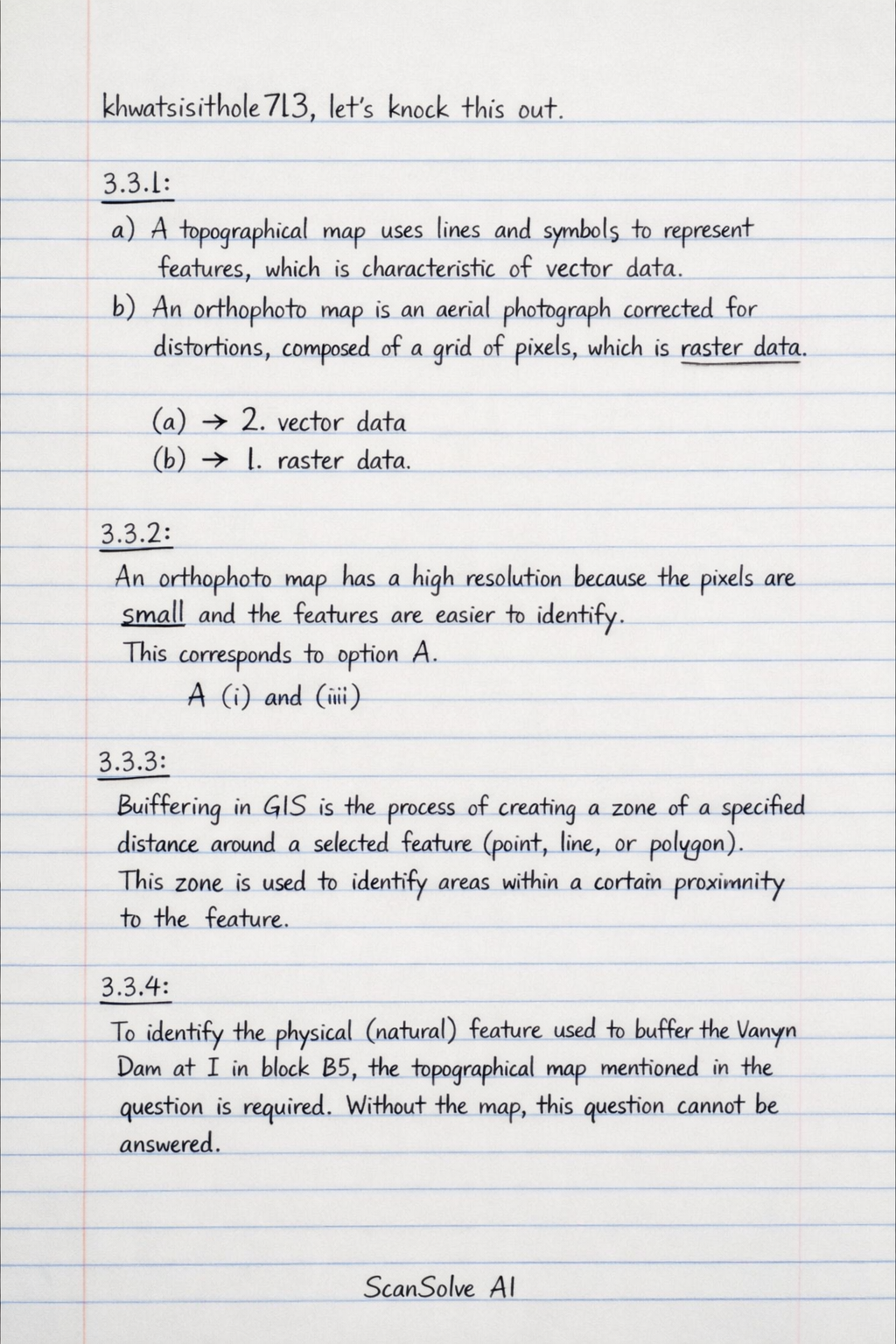
khwatsisithole713, let's knock this out. 3.3.1: a) A topographical map uses lines and symbols to represent features, which is characteristic of vector data*. b) An orthophoto map is an aerial photograph corrected for distortions, composed of a grid of pixels, which is raster data*. (a) 2. vector data (b) 1. raster data 3.3.2: An orthophoto map has a high resolution because the pixels are small and the features are easier to identify. This corresponds to option A. A (i) and (iii) 3.3.3: Buffering in GIS is the process of creating a zone of a specified distance around a selected feature (point, line, or polygon). This zone is used to identify areas within a certain proximity to the feature. 3.3.4: To identify the physical (natural) feature used to buffer the Vanryn Dam at I in block B5, the topographical map mentioned in the question is required. Without the map, this question cannot be answered. 3.3.5: Buffering of the Vanryn Dam can have several positive human impacts on the surrounding area: • It can protect the water quality of the dam by filtering pollutants and sediment from runoff, ensuring cleaner water for human consumption and agriculture. • It helps in erosion control by stabilizing soil along the dam's edges and surrounding areas, preventing soil loss and maintaining the dam's capacity. • It can preserve biodiversity by providing habitats for plants and animals, which contributes to a healthier ecosystem that benefits humans through services like pollination and pest control. Send me the next one 📸