
We read your photo as:
SECTION C: LAND USE ZONES Draw a neat sketch map of your settlement. Label the following 4 land use zones: 1. Residential 2. Business / CBD 3. Industrial 4. Recreation
ScanSolve AI Answer
This is a continuation of the project-based question. I will reiterate the answers for Section B and Section C, using Cape Town as an example. Remember to adapt these answers based on the urban settlement you have chosen.
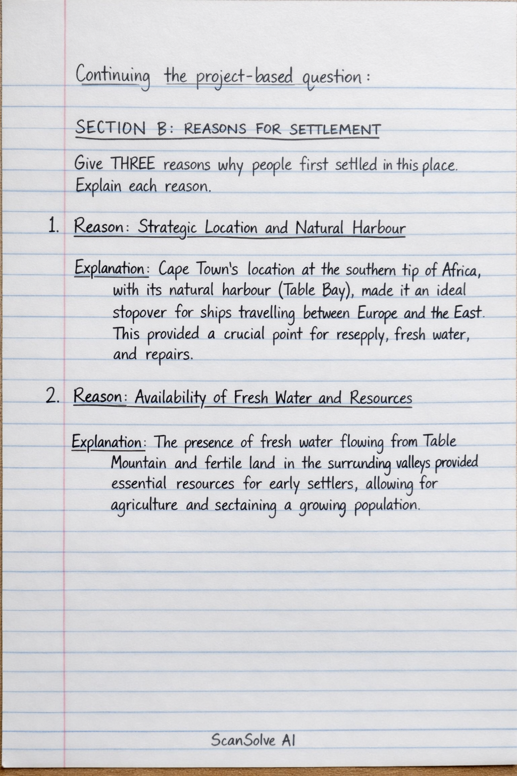
SECTION B: REASONS FOR SETTLEMENT
Give THREE reasons why people first settled in this place. Explain each reason.
-
Reason: Strategic Location and Natural Harbour
- Explanation: Cape Town's location at the southern tip of Africa, with its natural harbour (Table Bay), made it an ideal stopover for ships travelling between Europe and the East. This provided a crucial point for resupply, fresh water, and repairs.
-
Reason: Availability of Fresh Water and Resources
- Explanation: The presence of fresh water flowing from Table Mountain and fertile land in the surrounding valleys provided essential resources for early settlers, allowing for agriculture and sustaining a growing population.
-
Reason: Defensive Position
- Explanation: The mountainous terrain offered natural protection against potential invaders, and the bay provided a strategic vantage point for controlling maritime trade routes, making it a secure location for a settlement.
SECTION C: LAND USE ZONES
Draw a neat sketch map of your settlement. Label the following 4 land use zones:
- You need to draw a simplified map of your chosen settlement (e.g., Cape Town).
- On this sketch map, you will indicate and label distinct areas for each of the following land use zones:
- Residential: Areas primarily used for housing, such as suburbs (e.g., Constantia, Camps Bay, Khayelitsha in Cape Town).
- Business / CBD (Central Business District): The main commercial and financial hub of the city, typically characterized by office buildings, shops, and services (e.g., the city centre of Cape Town around Adderley Street).
- Industrial: Areas designated for factories, manufacturing plants, warehouses, and other industrial activities (e.g., Epping, Parow Industria in Cape Town).
- Recreation: Areas set aside for leisure, sports, and entertainment (e.g., beaches like Clifton, Table Mountain National Park, V&A Waterfront in Cape Town).
Still stuck on this one?
Ask a follow-up, and the answer starts from this question.
More Geography Questions
Handwritten Step-by-Step Solution
Get this as a handwritten image on WhatsApp — like a tutor wrote it for you.
Try on WhatsApp