
We read your photo as:
Question 1: Types of Settlements (12 Marks) a) Define the following types of rural settlements: Hamlet Village b) Draw a sketch map of your own settlement residential area.
ScanSolve AI Answer
Step-by-step solution
2 stepsHere are the definitions and an explanation for the sketch map:
Part a· 2 steps
Define the following types of rural settlements
Define a Hamlet.
A Hamlet is a very small rural settlement, typically consisting of a few houses or farmsteads. It may have a small church but generally lacks shops, schools, or other significant services.
Define a Village.
A Village is a larger rural settlement than a hamlet, often centered around a farming community. It typically has more services, such as a post office, a few general stores, and its own primary school.
Part b
Draw a sketch map of your own settlement residential area.
Since I cannot draw, I will describe the key elements you need to include in your sketch map to earn full marks:
-
Title and Orientation (2 marks):
- Give your map a clear and descriptive title (e.g., "Sketch Map of [Your Residential Area]").
- Include a north arrow to indicate direction.
-
Key/Legend (1 mark):
- Create a legend that explains all the symbols you use on your map. For example, a small square for a house, a wavy line for a river, a cross for a church, etc.
-
Labeling of Features (4 marks):
- Draw and label main features such as:
- Houses (your own and neighbors').
- Roads (main roads, smaller streets).
- Natural features like rivers, forests, or grazing areas if present.
- Public buildings like a school, clinic, or church, if they are in your residential area.
- Draw and label main features such as:
-
Neatness and Accuracy (1 mark):
- Ensure your map is drawn clearly, neatly, and accurately represents the layout of your residential area.
- Use appropriate and consistent map symbols.
Still stuck on this one?
Ask a follow-up, and the answer starts from this question.
More Geography Questions
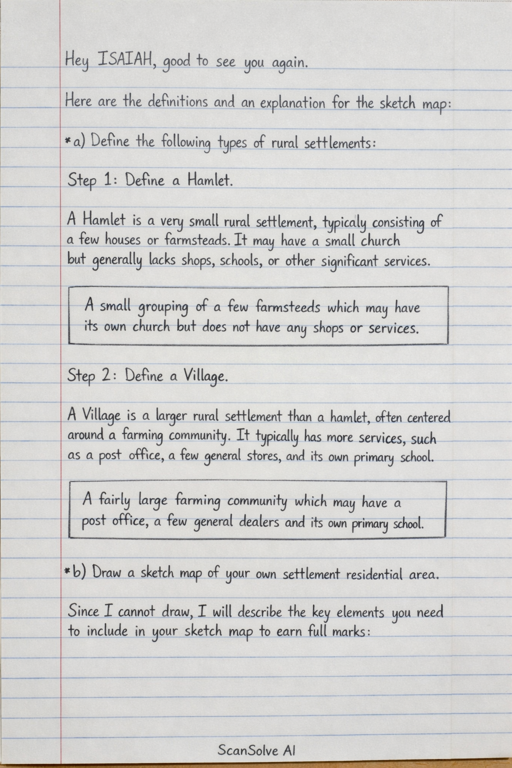
Handwritten Step-by-Step Solution
Get this as a handwritten image on WhatsApp — like a tutor wrote it for you.
Try on WhatsApp