
We read your photo as:
Identify the different land cover types shown on the map and list their corresponding symbols.
Geography
ScanSolve AI Answer
This answer stops before the end.
It was cut off when it was first written. Ask ScanSolve this question again for the full working.
here are the solutions to question 1, based on the map extract of Limbe:
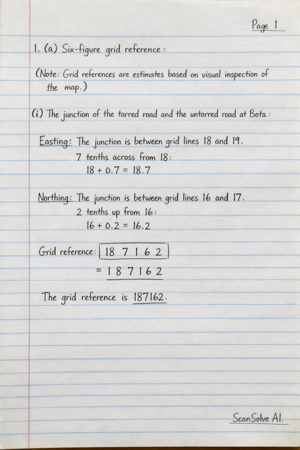
1. (a) Six-figure grid reference:
(Note: Grid references are estimates based on visual inspection of the map. Slight variations may occur with precise measurement.)
- (i) The junction of the tarred road and the untarred road at Bota:
- Easting: The junction is between grid lines 18 and 19, approximately 7 tenths across from 18.
- Northing: The junction is between grid lines 16 and 17, approximately 2 tenths up from 16.
- Grid reference: $\boxed{\text{1
Was this helpful?
Still stuck on this one?
Ask a follow-up, and the answer starts from this question.
Got a different question?Ask your own question
More Geography Questions
QPut letters A to D on pointers on the photo to identify land-use. (Write the 5 land-uses you have…QGrade 9 learners were studying symbols that represent physical features and human activities on a…QLand-use: Draw or get a map of the area. Use a map and shade different areas with different colours…QIdentify the natural landmarks corresponding to the numbered locations on this map.QMatch the following descriptions to the correct landform.
Handwritten Step-by-Step Solution
Get this as a handwritten image on WhatsApp — like a tutor wrote it for you.
Try on WhatsApp