
We read your photo as:
Formulate a hypothesis and create a map for a Grade 11 Geography research task about conventional energy sources in Mpumalanga.
Geography
ScanSolve AI Answer
Step-by-step solution
2 stepsHere are the steps for formulating a hypothesis and mapping for a Grade 11 Geography research task, based on the provided information:
Formulating a Hypothesis
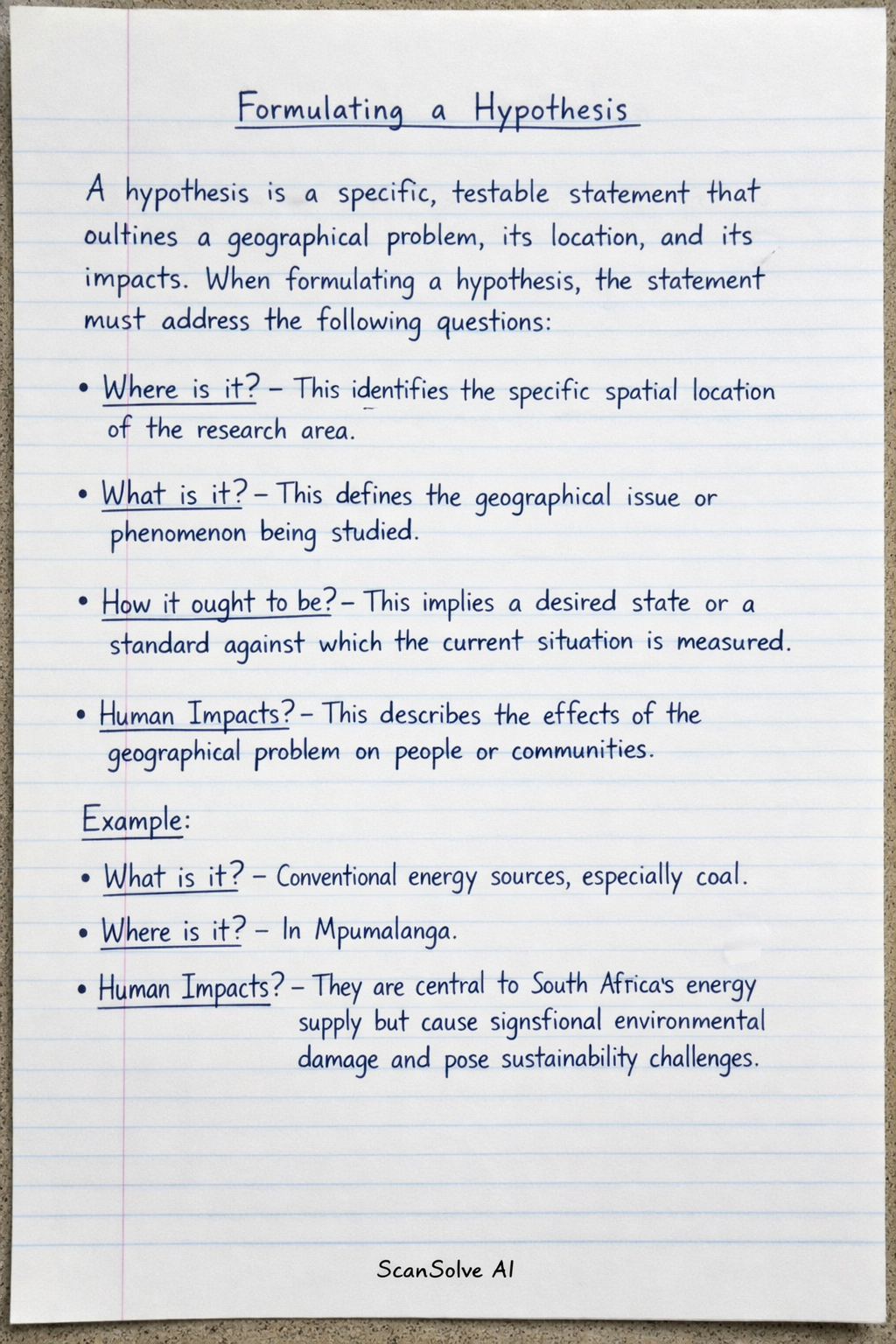
A hypothesis is a specific, testable statement that outlines a geographical problem, its location, and its impacts. When formulating a hypothesis, the statement must address the following questions:
- Where is it? This identifies the specific spatial location of the research area.
- What is it? This defines the geographical issue or phenomenon being studied.
- How it ought to be? This implies a desired state or a standard against which the current situation is measured (often implied by the problem's negative impacts).
- Human Impacts? This describes the effects of the geographical problem on people or communities.
Example:
- What is it? Conventional energy sources, especially coal.
- Where is it? In Mpumalanga.
- Human Impacts? They are central to South Africa's energy supply but cause significant environmental damage and pose sustainability challenges.
Mapping
Mapping is a crucial step to visually represent the research area and its geographical context. The requirements for mapping include:
- Provide a map of the area in question.
- Create a buffer zone around the area of study.
- The map must have a key and be drawn to scale.
- It should be a most recent map.
- Maps can be downloaded from websites.
Was this helpful?
Still stuck on this one?
Ask a follow-up, and the answer starts from this question.
Got a different question?Ask your own question
More Geography Questions
QResearch task on sustainable alternative energy sources in South Africa for Grade 12, covering…QOutline Step 1 of your research task: defining the problem statement for a South African energy…QHow do you formulate a hypothesis for a geographical problem, using examples from South Africa?QFormulate a hypothesis about the causes of water shortages and unreliable supply in the North West…QFormulate a geographical research hypothesis for "The Impact of Heavy Rainfall on Mass Movement in…
Handwritten Step-by-Step Solution
Get this as a handwritten image on WhatsApp — like a tutor wrote it for you.
Try on WhatsApp