
We read your photo as:
When moving to Central Europe via the Russian continent during winter, the air mass encountered would be cold and dry, originating over a large landmass at high latitudes. This type of air mass is
ScanSolve AI Answer
Answer
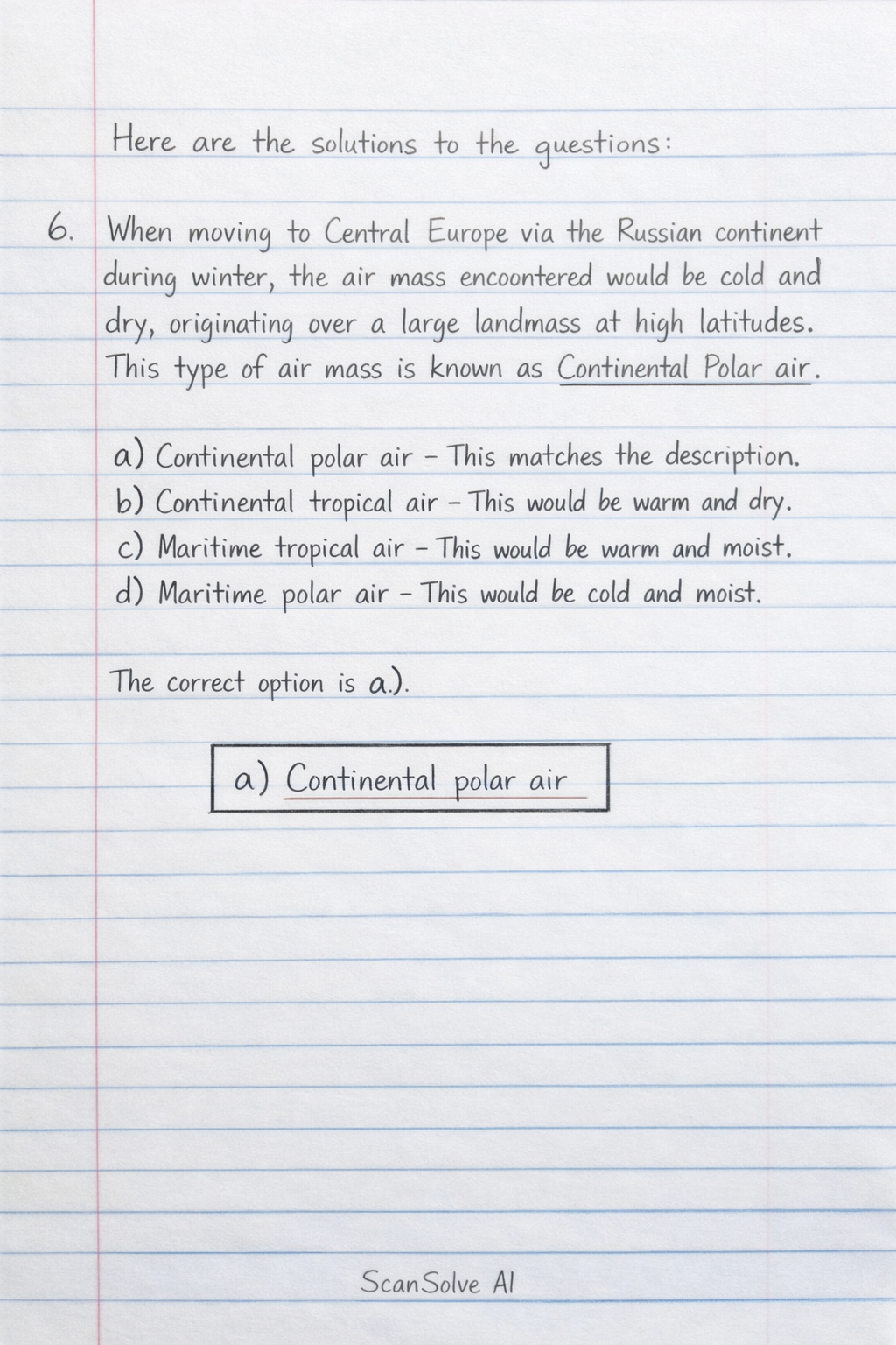
Here are the solutions to the questions:
-
When moving to Central Europe via the Russian continent during winter, the air mass encountered would be cold and dry, originating over a large landmass at high latitudes. This type of air mass is known as Continental Polar air.
- a) Continental polar air - This matches the description.
- b) Continental tropical air - This would be warm and dry.
- c) Maritime tropical air - This would be warm and moist.
- d) Maritime polar air - This would be cold and moist.
The correct option is a).
-
The passage of a warm front is characterized by a specific sequence of clouds as the front approaches and passes. This sequence typically starts with high clouds, followed by medium clouds, and then low clouds, often bringing continuous precipitation.
- a) Embedded cumulonimbus within dense nimbostratus - This describes a more unstable or occluded front.
- b) Cirrostratus, cirrocumulus, nimbostratus and finally cumulus - Cirrocumulus is less typical as a primary indicator, and cumulus is more associated with cold fronts or unstable air.
- c) Cirrus, cirrostratus, altostratus, nimbostratus and finally stratus - This is the classic sequence for a warm front: high clouds (Cirrus, Cirrostratus), then medium clouds (Altostratus), followed by low, rain-bearing clouds (Nimbostratus), and potentially Stratus.
- d) Nimbostratus, altostratus, cirrostratus and finally cirrus - This is in reverse order.
The correct option is c).
-
Let's break down the METAR: HKEL 0430Z 30010 KT 4000 RA SCT010 CB BKN025 BKN070 20/19 Q101 RETS NOSIG.
- The visibility is indicated by the number "4000", which means 4000 meters or 4 kilometers.
- The temperature and dew point are given as "20/19". The first number, 20, is the air temperature in degrees Celsius.
- Therefore, the reported visibility is 4 km and the temperature is .
The correct option is a).
\boxed{\text{a) 4 km and 20^\circ C}} -
Thunderstorm activity requires unstable atmospheric conditions, moisture, and a lifting mechanism.
- a) A ridge of high pressure - Associated with stable, sinking air, which suppresses thunderstorm development.
- b) Stable anticyclonic conditions - Similar to a ridge of high pressure, these conditions are stable and not conducive to thunderstorms.
- c) The presence of mountain wave - Can cause turbulence but is not the primary cause of widespread thunderstorm activity.
- d) A cold front - Cold fronts are a common cause of thunderstorms because they force warm, moist air to rise rapidly, leading to instability and cloud development.
The correct option is d).
-
A trend forecast (TREND) is a short-term forecast appended to a routine weather report (METAR) or a special weather report (SPECI). It describes expected significant changes in weather conditions over a short period.
- a) A landing forecast appended to METAR/SPECI, valid for 2 hours - This accurately describes a trend forecast.
- b) A route forecast valid for 24 hours - This describes a TAF (Terminal Aerodrome Forecast) or an area forecast.
- c) A routine report - This is a METAR itself, not a forecast.
- d) An aerodrome forecast valid for 9 hours - This describes a TAF.
The correct option is a).
-
Frontal fog, particularly pre-frontal fog, is most likely to occur when warm, moist air is forced to rise over a colder air mass, leading to precipitation. If this precipitation falls through cooler air near the surface, it can saturate the air and cause fog.
- a) in summer in the early morning - More typical for radiation fog.
- b) at the rear of a warm front - While fog can occur, pre-frontal fog is a more classic example of frontal fog.
- c) in winter in the early morning - Could be radiation fog, but not specifically frontal fog.
- d) in advance of a warm front - This is a classic scenario for pre-frontal fog, where warm rain falls into cooler air ahead of the warm front, saturating it.
The correct option is d).
-
In a METAR (Meteorological Aerodrome Report), specific identifiers are used to designate different weather phenomena.
- a) +SHRA - Heavy showers of rain.
- b) TS - Thunderstorm.
- c) SHRA - Showers of rain. This is the correct identifier for "showers of rain".
- d) +RA - Heavy rain.
The correct option is c).
Try one yourself
A new problem that tests the same skill.
Still stuck on this one?
Ask a follow-up, and the answer starts from this question.
More Geography Questions
Handwritten Step-by-Step Solution
Get this as a handwritten image on WhatsApp — like a tutor wrote it for you.
Try on WhatsApp