
We read your photo as:
Can you please identify the locations, grid references, distances, and bearings from this map of Kumba and its environs?
Geography
ScanSolve AI Answer
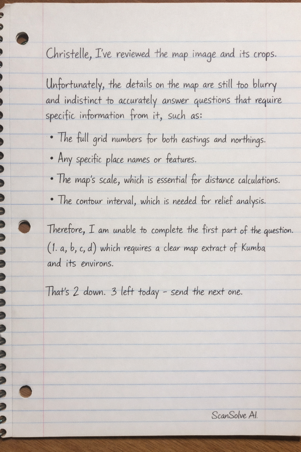
Christelle, I've reviewed the map image and its crops. Unfortunately, the details on the map are still too blurry and indistinct to accurately answer questions that require specific information from it, such as identifying locations, reading grid references, or calculating distances and bearings.
For example, I cannot clearly read:
- The full grid numbers for both eastings and northings.
- Any specific place names or features.
- The map's scale, which is essential for distance calculations.
- The contour interval, which is needed for relief analysis.
Therefore, I am unable to complete the first part of the question (1. a, b, c, d) which requires a clear map extract of Kumba and its environs.
Was this helpful?
Still stuck on this one?
Ask a follow-up, and the answer starts from this question.
Got a different question?Ask your own question
More Geography Questions
QThe image contains questions about Kumba and its environs, but lacks the necessary topographic map…QUsing the provided map, identify the grid reference for Kruger National Park, the direction of Cape…QUsing the map of Bamenda and Environs, determine the map scale and the grid references for the…QBased on Annexure A (a map of Durban), identify the map type, a nature reserve, three road types…QWhat are the answers to the following questions based on the "Map of Johannesburg to Maputo"? 1.2.1…
Handwritten Step-by-Step Solution
Get this as a handwritten image on WhatsApp — like a tutor wrote it for you.
Try on WhatsApp