
We read your photo as:
Explain river rejuvenation, its relationship with river capture, and how to represent a rejuvenated valley cross-section with terraces.
ScanSolve AI Answer
Here are the answers to your questions:
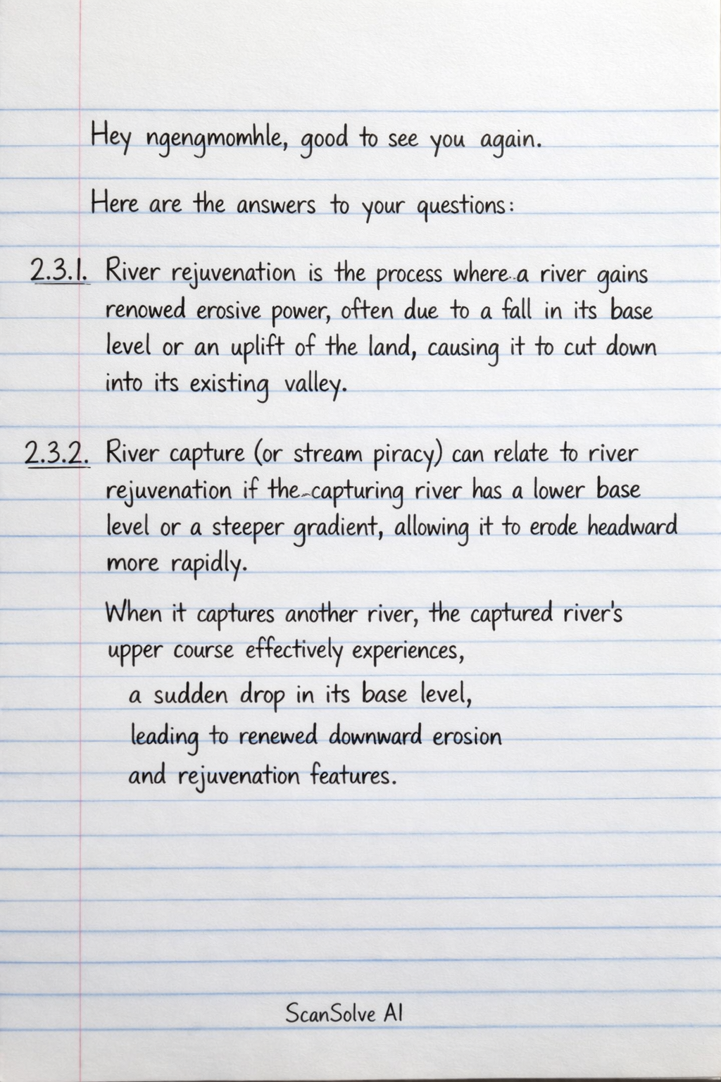
2.3.1 River rejuvenation is the process where a river gains renewed erosive power, often due to a fall in its base level or an uplift of the land, causing it to cut down into its existing valley.
2.3.2 River capture (or stream piracy) can relate to river rejuvenation if the capturing river has a lower base level or a steeper gradient, allowing it to erode headward more rapidly. When it captures another river, the captured river's upper course effectively experiences a sudden drop in its base level, leading to renewed downward erosion and rejuvenation features.
2.3.3
To draw a labelled free-hand cross section from A to B:
- a) The shape of the rejuvenated valley should show a valley-in-valley profile, with an older, wider valley at the top and a narrower, deeper, V-shaped valley incised within it.
- b) The new flood plain would be the narrow, flat area immediately adjacent to the current river channel at the bottom of the incised valley.
- c) The terraces would be the flat, step-like surfaces on either side of the new flood plain, representing remnants of the old flood plain before rejuvenation.
2.3.4 River terraces form when a rejuvenated river cuts down into its former flood plain. The old flood plain is left standing as a higher, flat surface (a terrace) above the new, lower river channel. Subsequent periods of rejuvenation or changes in river discharge can lead to multiple levels of terraces.
2.3.5 The illustrated rejuvenated landscape, with its incised valleys and terraces, can negatively impact infrastructure development in several ways:
- The steep valley sides and unstable slopes increase the risk of landslides and erosion, making construction difficult and hazardous.
- Building roads, railways, or pipelines across such terrain requires extensive cutting and filling, increasing construction costs and engineering challenges.
- The presence of multiple terraces and varying elevations can complicate the establishment of uniform gradients for infrastructure.
Still stuck on this one?
Ask a follow-up, and the answer starts from this question.
More Geography Questions
Handwritten Step-by-Step Solution
Get this as a handwritten image on WhatsApp — like a tutor wrote it for you.
Try on WhatsApp