
We read your photo as:
Using the provided map, identify the national parks, determine the largest park in Limpopo, specify directions between cities, calculate distances using scale, and compute travel time.
Geography
ScanSolve AI Answer
Step-by-step solution
3 steps1.1. There are 9 national parks on the given map.
- Richtersveld National Park
- Augrabies Falls National Park
- Karoo National Park
- Bontebok National Park
- Addo Elephant National Park
- Mountain Zebra National Park
- Tsitsikamma National Park
- Golden Gate Highlands National Park
- Kruger National Park
1.2. The largest national park Vuyelwa can visit in Limpopo is Kruger National Park.
1.3. East London is in the South East direction from Kimberley.
1.4. Step 1: Understand the map scale.
The scale is . This means 1 cm on the map represents cm in reality.
Convert the real-world distance from centimeters to kilometers.
So, 1 cm on the map represents 10 km in reality.
Calculate the actual distance.
1.5. Step 1: Convert the total time to hours.
The time taken is 4 hours and 13 minutes.Use the given formula to calculate the average speed.
Was this helpful?
Still stuck on this one?
Ask a follow-up, and the answer starts from this question.
Got a different question?Ask your own question
More Geography Questions
QUse the provided map to answer the following: 1.1. How many national parks are on the map? List…QWhat are the answers to Activity 2.1 regarding Limpopo province's geography, rivers, and mountains?QUsing the provided map, identify the grid reference for Kruger National Park, the direction of Cape…QWhich national road or roads would tourists use to travel between the following South African cities…QBelow is a map of South Africa with provinces and major cities. Answer the following questions.
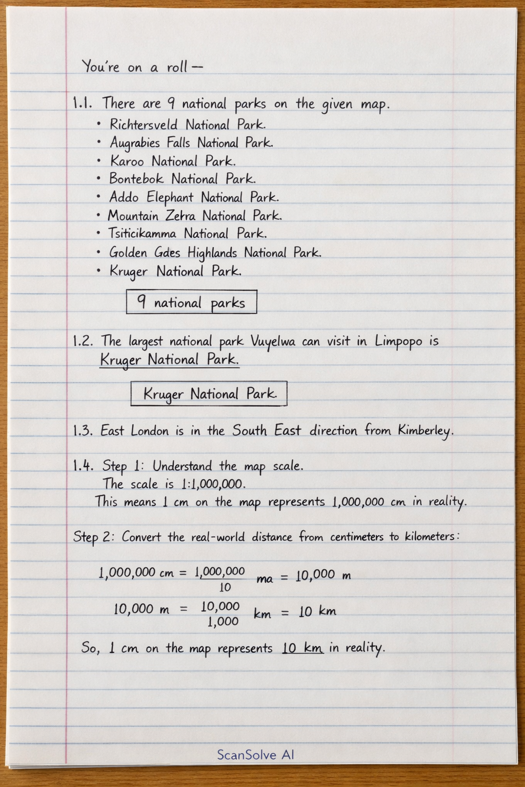
Handwritten Step-by-Step Solution
Get this as a handwritten image on WhatsApp — like a tutor wrote it for you.
Try on WhatsApp