
We read your photo as:
Which national road or roads would tourists use to travel between the following South African cities and countries based on Map 18?
ScanSolve AI Answer
Answers
7 partsHere are the answers for Question 1, using Map 18:
1. Which national road or roads would tourists use to travel between the following South African cities and countries?
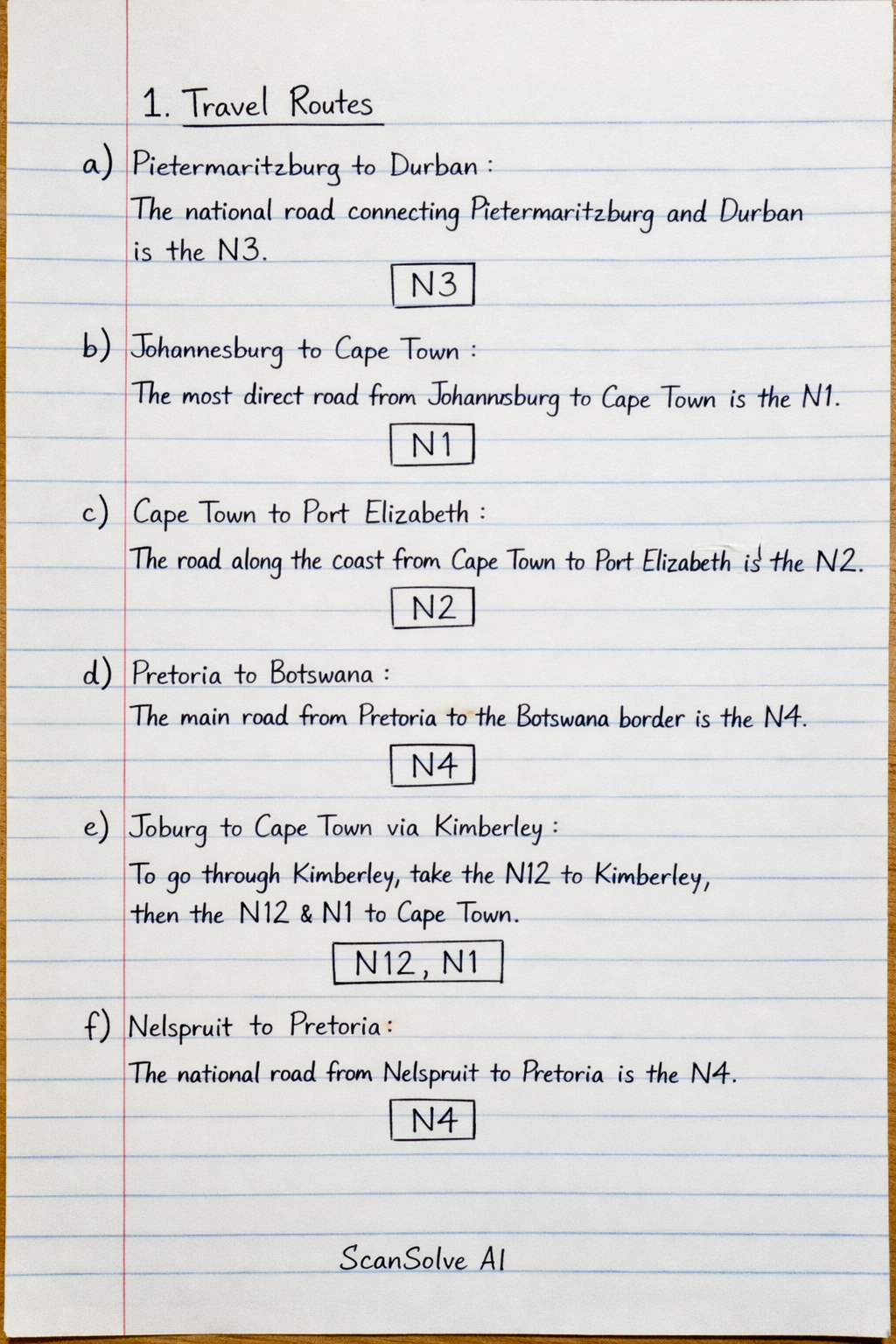
a) Pietermaritzburg and Durban
The national road connecting Pietermaritzburg and Durban is the N3.
b) Johannesburg and Cape Town
The most direct national road connecting Johannesburg and Cape Town is the N1.
c) Cape Town and Port Elizabeth
The national road connecting Cape Town and Port Elizabeth along the coast is the N2.
d) Pretoria and Botswana
The national road connecting Pretoria towards the border with Botswana is the N4.
e) Johannesburg and Cape Town via Kimberley
To travel from Johannesburg to Cape Town via Kimberley, tourists would use the N12 to Kimberley, and then the N12 and N1 to Cape Town.
f) Nelspruit and Pretoria
The national road connecting Nelspruit (Mbombela) and Pretoria is the N4.
g) Bloemfontein and Lesotho
The national road connecting Bloemfontein towards the border with Lesotho is the N8.
I cannot answer questions 2 and 3 because Map 10 and Map 11, which are required to answer these questions, are not provided in the image.
Try one yourself
A new problem that tests the same skill.
Still stuck on this one?
Ask a follow-up, and the answer starts from this question.
More Geography Questions
Handwritten Step-by-Step Solution
Get this as a handwritten image on WhatsApp — like a tutor wrote it for you.
Try on WhatsApp