
We read your photo as:
Referencing ANNEXURE D, answer the following questions about a road trip: 2.1 Describe the difference between a strip chart and a normal road map. 2.2 Determine the distance between Springbok and Goba
ScanSolve AI Answer
Step-by-step solution
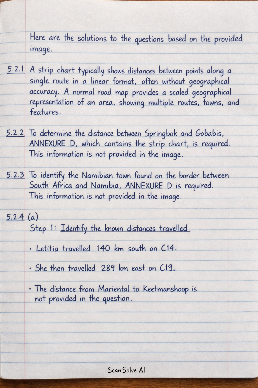
2 stepsHere are the solutions to the questions based on the provided image.
5.2.1
A strip chart typically shows distances between points along a single route in a linear format, often without geographical accuracy. A normal road map provides a scaled geographical representation of an area, showing multiple routes, towns, and features.
5.2.2
To determine the distance between Springbok and Gobabis, ANNEXURE D, which contains the strip chart, is required. This information is not provided in the image.
5.2.3
To identify the Namibian town found on the border between South Africa and Namibia, ANNEXURE D is required. This information is not provided in the image.
5.2.4 (a)
Identify the known distances travelled.
Letitia travelled south on C14 and east on C19. The distance from Mariental to Keetmanshoop is not provided in the question.
Calculate the sum of the known distances.
The total distance cannot be fully calculated without the distance from Mariental to Keetmanshoop.
The total distance Letitia travelled during this trip is .
5.2.4 (b)
To verify Letitia's statement, the total distance travelled (including the segment from Mariental to Keetmanshoop) and the average speed limits prescribed for the different types of roads are required. This information is not provided in the question or the image. Without these details, it is not possible to calculate the total travel time and verify the duration of the breaks.
Still stuck on this one?
Ask a follow-up, and the answer starts from this question.
More Geography Questions
Handwritten Step-by-Step Solution
Get this as a handwritten image on WhatsApp — like a tutor wrote it for you.
Try on WhatsApp