
We read your photo as:
Explain the difference between a strip map and a street map. Then, use the provided strip map to determine the route Gavin takes from Vanrhynsdorp to Ceres and calculate the distance between Cape Town
ScanSolve AI Answer
Answer
Step-by-step solution
5 steps3.2.1
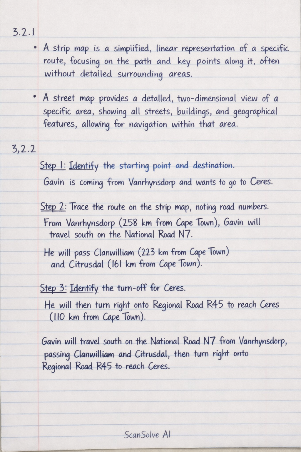
- A strip map is a simplified, linear representation of a specific route, focusing on the path and key points along it, often without detailed surrounding areas.
- A street map provides a detailed, two-dimensional view of a specific area, showing all streets, buildings, and geographical features, allowing for navigation within that area.
3.2.2
Identify the starting point and destination.
Gavin is coming from Vanrhynsdorp and wants to go to Ceres.
Trace the route on the strip map, noting road numbers.
From Vanrhynsdorp (258 km from Cape Town), Gavin will travel south on the National Road N7. He will pass Clanwilliam (223 km from Cape Town) and Citrusdal (161 km from Cape Town).
Identify the turn-off for Ceres.
He will then turn right onto Regional Road R45 to reach Ceres (110 km from Cape Town).
Gavin will travel south on the National Road N7 from Vanrhynsdorp, passing Clanwilliam and Citrusdal, then turn right onto Regional Road R45 to reach Ceres.3.2.3
Find the distance between Cape Town and Hondeklipbaai from the strip map.
According to the strip map, Hondeklipbaai is 114 km from Cape Town.
Convert the distance from kilometers to meters.
The distance between Cape Town and Hondeklipbaai in metres is:
Try one yourself
A new problem that tests the same skill.
Still stuck on this one?
Ask a follow-up, and the answer starts from this question.
More Geography Questions
Handwritten Step-by-Step Solution
Get this as a handwritten image on WhatsApp — like a tutor wrote it for you.
Try on WhatsApp