
We read your photo as:
Compare and contrast strip maps and street maps, and provide directions from Vanrhynsdorp to Ceres and the distance between Cape Town and Hondeklipbaai.
ScanSolve AI Answer
This answer stops before the end.
It was cut off when it was first written. Ask ScanSolve this question again for the full working.
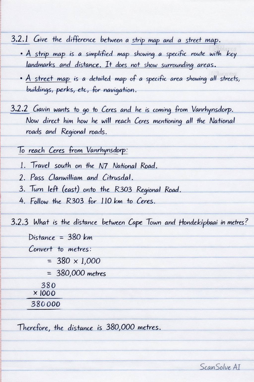
3.2.1 Give the difference between a strip map and a street map.
- A strip map is a simplified map that focuses on a specific route or path, showing key landmarks and distances along that route. It typically does not show detailed surrounding areas.
- A street map provides a detailed representation of a specific area, showing all streets, buildings, parks, and other features, allowing for navigation within a city or town.
3.2.2 Gavin wants to go to Ceres and he is coming from Vanrhynsdorp. Now direct him how he will reach Ceres mentioning all the National roads and Regional roads.
To reach Ceres from Vanrhynsdorp:
- Travel south from Vanrhynsdorp along the main route, which is the N7 National Road.
- Continue past Clanwilliam and Citrusdal.
- From Citrusdal, turn left (east) onto the Regional Road that leads to Ceres.
- Follow this Regional Road for to reach Ceres.
3.2.3 What is the distance between Cape Town and Hondeklipbaai in metres?
Step 1: Identify the distances between the main towns on the strip chart (assuming the faint numbers on the vertical line segments are distances in km).
- Cape Town to Malmesbury:
- Malmesbury to Piketberg:
- Piketberg to Clanwilliam:
- Clanwilliam to Citrusdal:
- Citrusdal to Vanrhynsdorp:
- Vanrhynsdorp to Garies:
- Garies to Kamieskroon:
Step 2: Calculate the total distance from Cape Town to Garies.
Step 3: Determine the distance from Garies to the Hondeklipbaai turn-off.
The note states: "The bypass to Hondeklipbaai is in the middle of Garies and Kamieskroon."
The distance between Garies and Kamieskroon is .
So, the turn-off is halfway:
Still stuck on this one?
Ask a follow-up, and the answer starts from this question.
More Geography Questions
Handwritten Step-by-Step Solution
Get this as a handwritten image on WhatsApp — like a tutor wrote it for you.
Try on WhatsApp