
We read your photo as:
A tourist departs from Durban at 08:15 and drives to Kokstad via the N2. The total distance is 195 km. The vehicle maintains an average speed of 105 km/h. The traveller stops for a 20-minute coffee break in Port Shepstone. Determine the arrival time in Kokstad.
ScanSolve AI Answer
Step-by-step solution
5 stepsAddress question 2.1.1.
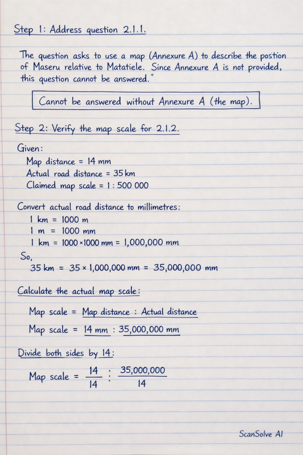
The question asks to use a map (Annexure A) to describe the position of Maseru relative to Matatiele. Since Annexure A is not provided, this question cannot be answered.
Verify the map scale for 2.1.2.
Given:
Map distance = 14 mm
Actual road distance = 35 km
Claimed map scale = 1 : 500 000First, convert the actual road distance to millimetres to match the map distance unit.
So,
Now, calculate the actual map scale based on the given measurements:
To express this as a ratio with 1 on the left side, divide both sides by 14:
Compare this calculated scale to the traveler's claim:
Calculated scale: 1 : 2,500,000
Claimed scale: 1 : 500,000
Since , the traveler's claim is incorrect.Calculate the driving time for 2.1.3.
Given:
Total distance = 195 km
Average speed = 105 km/h
The formula for time is .Convert the decimal part of the hour to minutes:
Rounding to the nearest minute, the driving time is 1 hour and 51 minutes.
Calculate the total travel time for 2.1.3.
The traveler stops for a 20-minute coffee break.
Since 71 minutes is 1 hour and 11 minutes:
Determine the arrival time in Kokstad for 2.1.3.
Departure time = 08:15
Add the total travel time:
Still stuck on this one?
Ask a follow-up, and the answer starts from this question.
More Mathematics Questions
Handwritten Step-by-Step Solution
Get this as a handwritten image on WhatsApp — like a tutor wrote it for you.
Try on WhatsApp