
We read your photo as:
Questions 2.1.1 to 2.1.6 about map scale, road identification, and distance calculation.
ScanSolve AI Answer
Step-by-step solution
8 stepsHere are the answers to your questions:
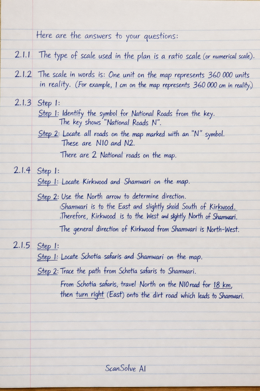
2.1.1 The type of scale used in the plan is a ratio scale (or numerical scale).
2.1.2 The scale in words is: One unit on the map represents 360 000 units in reality. (For example, 1 cm on the map represents 360 000 cm in reality).
2.1.3
Identify the symbol for National Roads from the key.
The key shows "National Roads N".
Locate all roads on the map marked with an 'N' symbol.
These are N10 and N2.
There are 2 National roads on the map.2.1.4
Locate Kirkwood and Shamwari on the map.
Use the North arrow to determine direction.
Shamwari is to the East and slightly South of Kirkwood. Therefore, Kirkwood is to the West and slightly North of Shamwari.
The general direction of Kirkwood from Shamwari is North-West.2.1.5
Locate Schotia safaris and Shamwari on the map.
Trace the path from Schotia safaris to Shamwari.
From Schotia safaris, travel North on the N10 road for 18 km, then turn right (East) onto the dirt road which leads to Shamwari.
2.1.6
Convert the actual distance from kilometers to centimeters.
Actual distance =
Use the given scale to calculate the distance on the map.
The scale is .
The distance on the map is .
Still stuck on this one?
Ask a follow-up, and the answer starts from this question.
More Mathematics Questions
Handwritten Step-by-Step Solution
Get this as a handwritten image on WhatsApp — like a tutor wrote it for you.
Try on WhatsApp