
We read your photo as:
Using the scale 1:200, calculate the real-life distance represented by 8.2 cm on the map. Then, calculate the real-life distance represented by 15 cm on the map in meters. Lastly, calculate the map di
ScanSolve AI Answer
Step-by-step solution
11 steps4.1.1
Understand the scale.
A scale of $1:200$ means that 1 cm on the map represents 200 cm in real life.
Calculate the real-life measurement.
The real-life measurement is .
4.1.2
Calculate the real-life measurement in cm.
Convert the real-life measurement from cm to m.
()
The real-life measurement is .
4.1.3
Calculate the measurement on the map.
The measurement on the map is .
4.2.1
A scale of "" means that one unit of distance on the map represents of the same units of distance in real life. For example, 1 cm on the map represents cm in real life.4.2.2
Convert km to m.
()
Convert m to cm.
()
4 km is equal to .
4.2.3
Use the real-life distance from question 4.2.2, which is cm.
Calculate the distance on the topographical map using the scale .
The distance on the topographical map will be .
4.2.4
Calculate the real-life measurement in cm using the scale .
Convert the real-life measurement from cm to km.
()
A measurement of 17 cm on the map will be equal to in real life.
Still stuck on this one?
Ask a follow-up, and the answer starts from this question.
More Mathematics Questions
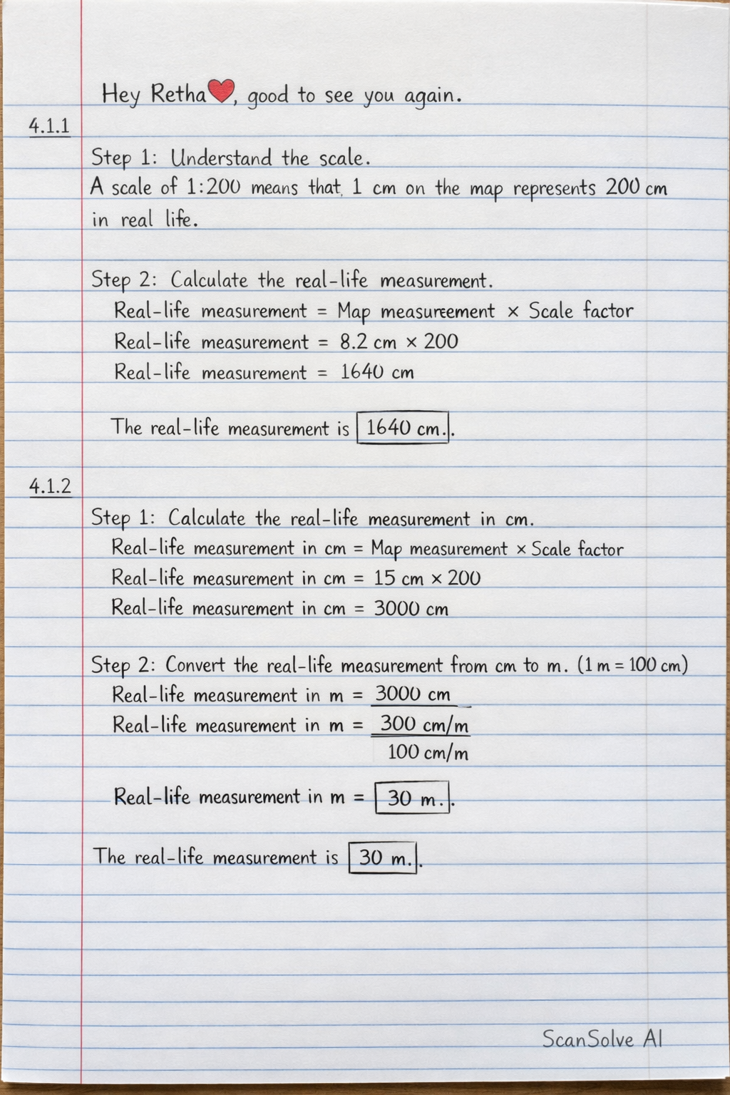
Handwritten Step-by-Step Solution
Get this as a handwritten image on WhatsApp — like a tutor wrote it for you.
Try on WhatsApp