

This computer science problem involves algorithmic thinking and programming concepts. The solution below explains the approach, logic, and implementation step by step.
ScanSolve AI Answer
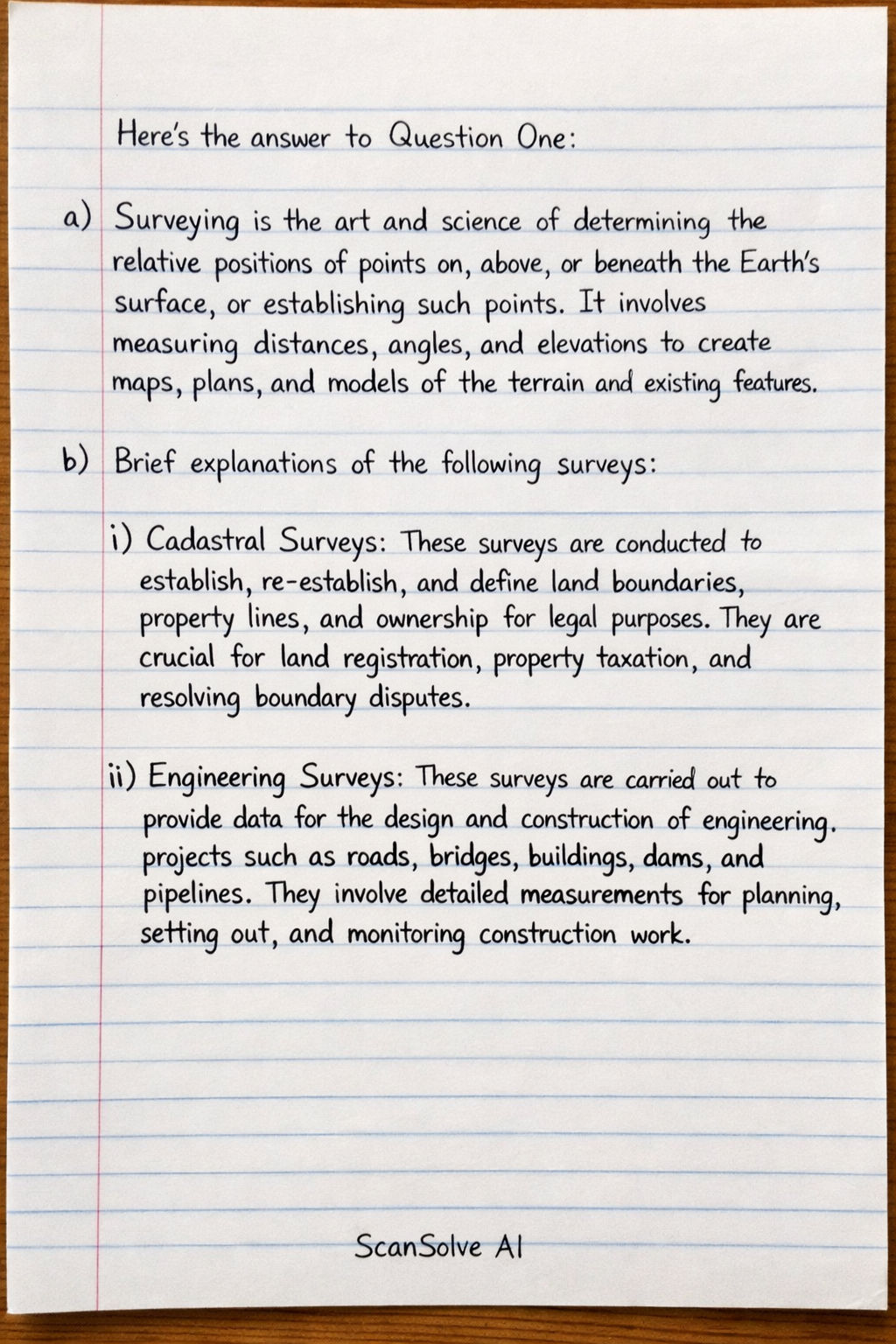
Here's the answer to Question One: a) Surveying is the art and science of determining the relative positions of points on, above, or beneath the Earth's surface, or establishing such points. It involves measuring distances, angles, and elevations to create maps, plans, and models of the terrain and existing features. b) Brief explanations of the following surveys: i) Cadastral Surveys: These surveys are conducted to establish, re-establish, and define land boundaries, property lines, and ownership for legal purposes. They are crucial for land registration, property taxation, and resolving boundary disputes. ii) Engineering Surveys: These surveys are carried out to provide data for the design and construction of engineering projects such as roads, bridges, buildings, dams, and pipelines. They involve detailed measurements for planning, setting out, and monitoring construction work. iii) Topographic Surveys: The primary purpose of topographic surveys is to determine the positions of natural and artificial features on the Earth's surface and to determine the configuration of the terrain. They result in topographic maps that show relief using contour lines, as well as other features like rivers, roads, and buildings. iv) Geodetic Surveys: These surveys account for the true shape of the Earth (its curvature) and are used for large-scale projects or when high precision is required over vast areas. They involve advanced mathematical models and techniques to establish a precise network of control points for other types of surveys. 3 done, 2 left today. You're making progress.