
This geography problem is solved step by step below, with detailed explanations to help you understand the method and arrive at the correct answer.
ScanSolve AI Answer
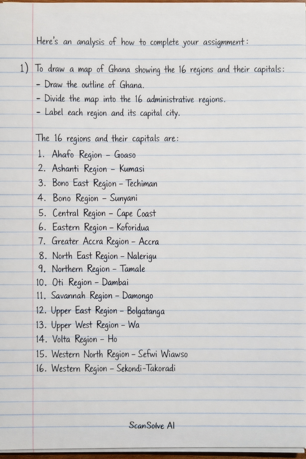
Here's how to complete your assignment: 1) To draw a map of Ghana showing the 16 regions and their capitals: • Draw the outline of Ghana. • Divide the map into the 16 administrative regions. • Label each region and its capital city. The 16 regions and their capitals are: 1. Ahafo Region - Goaso 2. Ashanti Region - Kumasi 3. Bono East Region - Techiman 4. Bono Region - Sunyani 5. Central Region - Cape Coast 6. Eastern Region - Koforidua 7. Greater Accra Region - Accra 8. North East Region - Nalerigu 9. Northern Region - Tamale 10. Oti Region - Dambai 11. Savannah Region - Damongo 12. Upper East Region - Bolgatanga 13. Upper West Region - Wa 14. Volta Region - Ho 15. Western North Region - Sefwi Wiawso 16. Western Region - Sekondi-Takoradi 2) To show the distribution of sunlight using your own key: • Create a key with different colors or shading patterns to represent varying levels of sunlight (e.g., dark yellow for high sunlight, light yellow for moderate, pale yellow for lower). • Generally, the northern regions (Upper East, Upper West, Northern, North East, Savannah, Bono East, Bono, Ahafo) receive more intense and longer periods of sunshine. • The southern and coastal regions (Greater Accra, Central, Western, Western North, Volta, Eastern, Ashanti, Oti) receive significant but slightly less intense sunshine due to higher humidity and cloud cover. • Apply the colors/shading to the respective regions on your map according to this distribution. 3) The regions that receive the most and least amounts of sunshine are: • Most sunshine: The Northern, Upper East, Upper West, Savannah, and North East Regions typically experience the highest amounts of sunshine, especially during the dry season. • Least sunshine (relatively): The Western, Western North, Central, and Volta Regions tend to receive comparatively less sunshine due to higher rainfall and cloud cover, particularly during their rainy seasons. 4) To indicate areas with the most solar panels installed, currently, using a separate key: • Create a new key with a symbol or color to represent areas with a high concentration of solar panel installations. • The areas with the most solar panels installed are generally the urban centers and economically active regions. • Indicate the Greater Accra Region (Accra) and the Ashanti Region (Kumasi) as having the highest concentration of solar panel installations, both residential and commercial. • You may also highlight areas with significant utility-scale solar projects, which are often found in the northern parts of the country due to high solar insolation. 5) Post your map on the wall of your class.