

This geography problem is solved step by step below, with detailed explanations to help you understand the method and arrive at the correct answer.
ScanSolve AI Answer
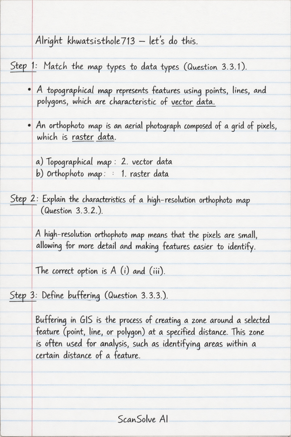
Step 1: Match the map types to data types (Question 3.3.1). A topographical map represents features using points, lines, and polygons, which are characteristic of vector data*. An orthophoto map is an aerial photograph composed of a grid of pixels, which is raster data*. a) Topographical map: 2. vector data b) Orthophoto map: 1. raster data Step 2: Explain the characteristics of a high-resolution orthophoto map (Question 3.3.2). A high-resolution orthophoto map means that the pixels are small, allowing for more detail and making features easier to identify. The correct option is A (i) and (iii). Step 3: Define buffering (Question 3.3.3). Buffering in GIS is the process of creating a zone around a selected feature (point, line, or polygon) at a specified distance. This zone is often used for analysis, such as identifying areas within a certain distance of a feature. Step 4: Identify a physical (natural) feature used for buffering (Question 3.3.4). Without the topographical map for block B5, I will provide a common natural feature used for buffering around dams. A physical (natural) feature that could be used to buffer the Vanryn Dam is a mountain range or hills. Step 5: Explain the positive human impact of buffering (Question 3.3.5). Buffering around the Vanryn Dam can have several positive human impacts, such as: • Protecting the water quality of the dam by preventing pollution from nearby human activities. • Controlling urban development or agriculture too close to the dam, which helps maintain the dam's structural integrity and prevents erosion into the reservoir. • Preserving natural ecosystems around the dam, which can support biodiversity and provide recreational opportunities. Send me the next one 📸