

This geography problem is solved step by step below, with detailed explanations to help you understand the method and arrive at the correct answer.
ScanSolve AI Answer
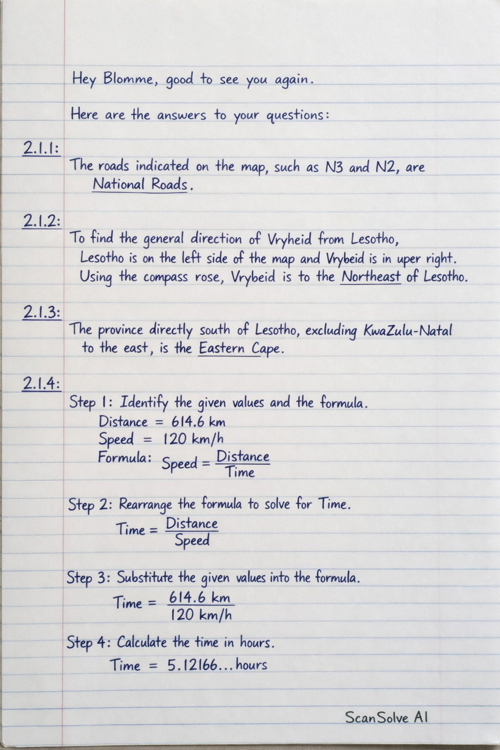
Here are the answers to your questions: 2.1.1: The roads indicated on the map, such as N3 and N2, are National Roads. 2.1.2: To find the general direction of Vryheid from Lesotho, locate Lesotho on the left side of the map and Vryheid in the upper right. Using the compass rose (North arrow pointing up), Vryheid is generally to the Northeast of Lesotho. 2.1.3: Looking at the map, the province directly south of Lesotho, excluding KwaZulu-Natal (which is to the east), is the Eastern Cape. 2.1.4: Step 1: Identify the given values and the formula. Given: Distance = 614.6 km Speed = 120 km/h Formula: Speed = DistanceTime Step 2: Rearrange the formula to solve for Time. Time = DistanceSpeed Step 3: Substitute the given values into the formula. Time = 614.6 km120 km/h Step 4: Calculate the time in hours. Time = 5.12166... hours Step 5: Convert the decimal part of the hours into minutes. The whole number part is 5 hours. The decimal part is 0.12166... hours. Minutes = 0.12166... hours × 60 minutes/hour Minutes ≈ 7.3 minutes Rounding to the nearest minute, this is 7 minutes. Step 6: State the final answer in hours and minutes. The total time is 5 hours and 7 minutes. Send me the next one 📸