
We read your photo as:
Which of the following types of mountains does the characteristics above describe? A. Fold mountain B. Block mountain C. Residual mountain D. Volcanic mountain
ScanSolve AI Answer
Answer
Step-by-step solution
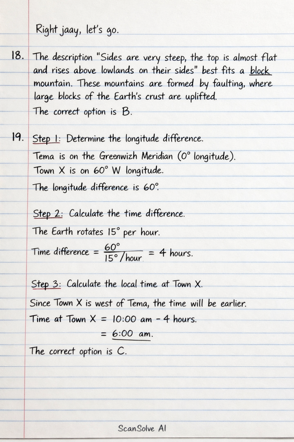
6 steps18. The description "Sides are very steep, the top is almost flat and rises above lowlands on their sides" best fits a block mountain. These mountains are formed by faulting, where large blocks of the Earth's crust are uplifted.
The correct option is B.
19.
Determine the longitude difference.
Tema is on the Greenwich Meridian ( longitude). Town X is on W longitude.
The longitude difference is .Calculate the time difference.
The Earth rotates per hour.
Time difference .Calculate the local time at Town X.
Since Town X is west of Tema, the time will be earlier.
Time at Town X .
The correct option is C.20. Limestone regions are characterized by karst topography, which includes features formed by the dissolution of soluble rocks. Stalactites (hanging from the cave ceiling) and stalagmites (rising from the cave floor) are classic formations found in limestone caves.
The correct option is B.21. Hot springs are formed when groundwater is heated by geothermal energy. This geothermal activity is closely associated with volcanicity, where magma or hot rocks are close to the Earth's surface.
The correct option is D.22.
Determine the temperature lapse rate.
The standard atmospheric lapse rate is approximately per 1000 meters.
Calculate the total temperature drop.
Height of mountain .
Temperature drop .Calculate the temperature at the peak.
Temperature at foot .
Temperature at peak .
The correct option is B.23. A windvane (or weather vane) is an instrument used to show the direction from which the wind blows. The head of the arrow points into the wind.
The correct option is B.24. Air pressure is the force exerted by the weight of the air column above a given point. At sea level, there is a greater column of air above, meaning the air has greater weight pressing down compared to the top of a mountain.
The correct option is B.25. The correct sequence of coastal features formed by erosion, leading to a stack, is:
- Headland: A resistant piece of land extending into the sea.
- Cave: Waves erode weaknesses in the headland.
- Arch: Two caves meet or a single cave erodes through the headland.
- Stack: The arch collapses, leaving an isolated pillar of rock. The correct option is D.
26. Semi-arid regions receive limited rainfall, leading to specialized vegetation. Plants in these areas often have adaptations like thorny plant species to reduce water loss and protect against herbivores.
The correct option is A.27. The Earth's internal structure consists of layers. Immediately beneath the crust is the mantle.
The correct option is B.28. Geysers are a type of hot spring that erupts periodically, expelling hot water and steam. This phenomenon is driven by geothermal heat, which is a direct result of volcanicity (magma heating groundwater).
The correct option is D.
Try one yourself
A new problem that tests the same skill.
Still stuck on this one?
Ask a follow-up, and the answer starts from this question.
More Geography Questions
Handwritten Step-by-Step Solution
Get this as a handwritten image on WhatsApp — like a tutor wrote it for you.
Try on WhatsApp