
We read your photo as:
Draw a map of a plot of land using field book measurements and a scale of 1 cm to represent 5 m.
Geography
ScanSolve AI Answer
Step-by-step solution
2 stepsHere are the solutions for all the questions on the page.
Question 1 (Field Book Plotting):
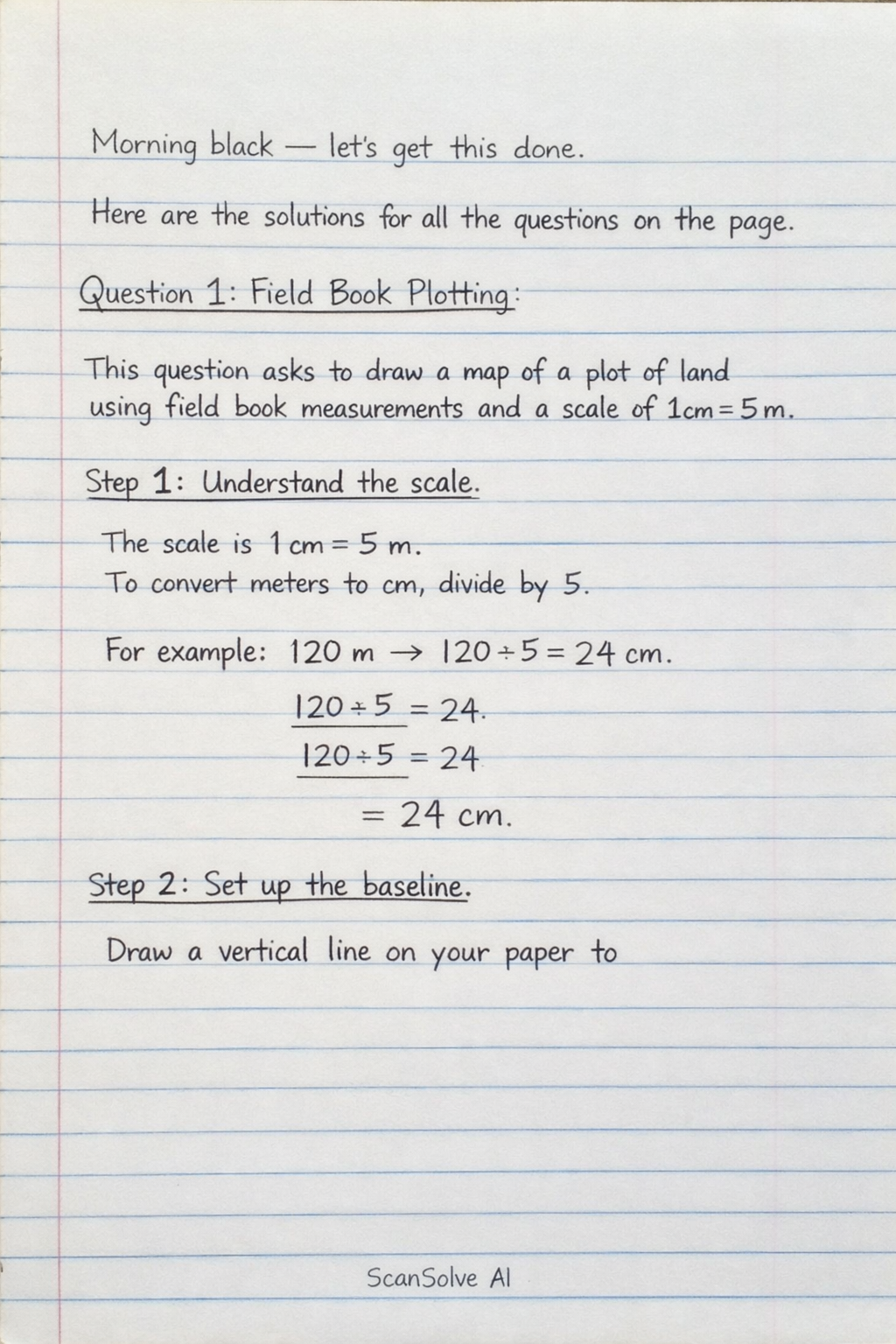
This question asks to draw a map of a plot of land using field book measurements and a scale of 1 cm to represent 5 m. Since I cannot draw directly, I will explain the steps to follow.
Understand the scale.
The scale is 1 cm represents 5 m. This means to convert meters to centimeters for drawing, you divide the measurement in meters by 5. For example, 120 m becomes cm.
Set up the baseline.
Draw a vertical line on your paper to
Was this helpful?
Still stuck on this one?
Ask a follow-up, and the answer starts from this question.
Got a different question?Ask your own question
More Geography Questions
QHow do I plot a field book map using measurements and scale?QDraw a scale drawing of the land using the measurements given survey.QThe measurement of a copy farm were projected in a field notebook as shown below. Draw the map of…QHow do you draw an accurate map of a farm using a scale of 1:8000?QDraw a scale of 1:50 to read meters and decimeters.
Handwritten Step-by-Step Solution
Get this as a handwritten image on WhatsApp — like a tutor wrote it for you.
Try on WhatsApp