
We read your photo as:
Describe the folding observed on the geological map, including evidence such as outcrop patterns and fold types.
Geography
ScanSolve AI Answer
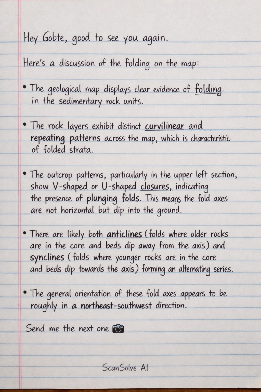
Here's a discussion of the folding on the map:
The geological map displays clear evidence of folding in the sedimentary rock units.
- The rock layers exhibit distinct curvilinear and repeating patterns across the map, which is characteristic of folded strata.
- The outcrop patterns, particularly in the upper left section, show V-shaped or U-shaped closures, indicating the presence of plunging folds. This means the fold axes are not horizontal but dip into the ground.
- There are likely both anticlines (folds where older rocks are in the core and beds dip away from the axis) and synclines (folds where younger rocks are in the core and beds dip towards the axis) forming an alternating series.
- The general orientation of these fold axes appears to be roughly in a northeast-southwest direction.
Was this helpful?
Still stuck on this one?
Ask a follow-up, and the answer starts from this question.
Got a different question?Ask your own question
More Geography Questions
QDescribe the folding and faults shown on the geological map, including their type, orientation, and…QDescribe the folding features visible on this geological map, including type, orientation, and…QIdentify the geological feature at grid reference 540895 and explain why it is that type of fold…QDescribe folding on the map and identify the type of fault with reason(s).QDescribe the folding and faulting on the map
Browse by topic:Earth Science
Handwritten Step-by-Step Solution
Get this as a handwritten image on WhatsApp — like a tutor wrote it for you.
Try on WhatsApp