
We read your photo as:
Define the following terms: Route map, North elevation map, Strip map, Bar scales, A 3-D model. Explain how scale is important in everyday contexts.
Geography
ScanSolve AI Answer
Step-by-step solution
3 stepsDefine terms related to maps and scale.
- 1.1.1 Route map: A map designed to show roads, highways, and other transportation routes, often used for navigation and planning journeys.
- 1.1.2 North elevation map: A map that illustrates the vertical features and terrain of an area as viewed from the north, showing changes in altitude.
- 1.1.3 Strip map: A linear map that focuses on a specific route or corridor, typically showing details along a road, river, or railway line.
- 1.1.4 Bar scales: A graphic representation on a map that shows the relationship between a distance on the map and the corresponding distance on the ground, usually as a line marked with units.
- 1.1.5 A 3-D model: A physical or digital representation of an object or area that has height, width, and depth, providing a three-dimensional view.
Address questions requiring the attached map.
- 1.2, 1.3, 1.4, 1.5, 2, 3.1, 3.2: These questions require information from an attached map of Bloemfontein and routes from Willows to Oranjesig, which was not provided. Therefore, these questions cannot be answered.
Explain the importance of scale and provide examples.
-
4.1 Explain how scale is important in everyday contexts. Scale is crucial in everyday life because it allows us to represent large real-world objects or distances in a smaller, manageable format, or vice versa. It ensures that proportions are maintained, enabling accurate planning, measurement, and understanding of spatial relationships without needing to interact with the actual size. This is essential for tasks ranging from reading maps to constructing buildings.
-
4.2 Provide two examples where scale can be applied in real life.
- Architecture and construction: Architects use scale drawings and models to design buildings, ensuring that all components fit together correctly and that the final structure will be the intended size.
- Map reading and navigation: Maps use scale to represent vast geographical areas on a small piece of paper or screen, allowing users to estimate distances, plan routes, and understand the relative positions of landmarks.
-
Was this helpful?
Still stuck on this one?
Ask a follow-up, and the answer starts from this question.
Got a different question?Ask your own question
More Geography Questions
QDefine the following terms: route map, north elevation map, strip map, bar scales, and a 3-D model.QExplain the meaning of the following terms as used in Mathematical Literacy: route map, north…QPlease define: 1.1.1 Route map, 1.1.2 North elevation map, 1.1.3 Strip map, 1.1.4 Bar scales, 1.1.5…Q1 Explain the meaning of the following terms as used in Mathematical Literacy. 1.1.1 Route map…QMatch the following terms with their definitions: Bar scale, Surface area, Road map, Speed.
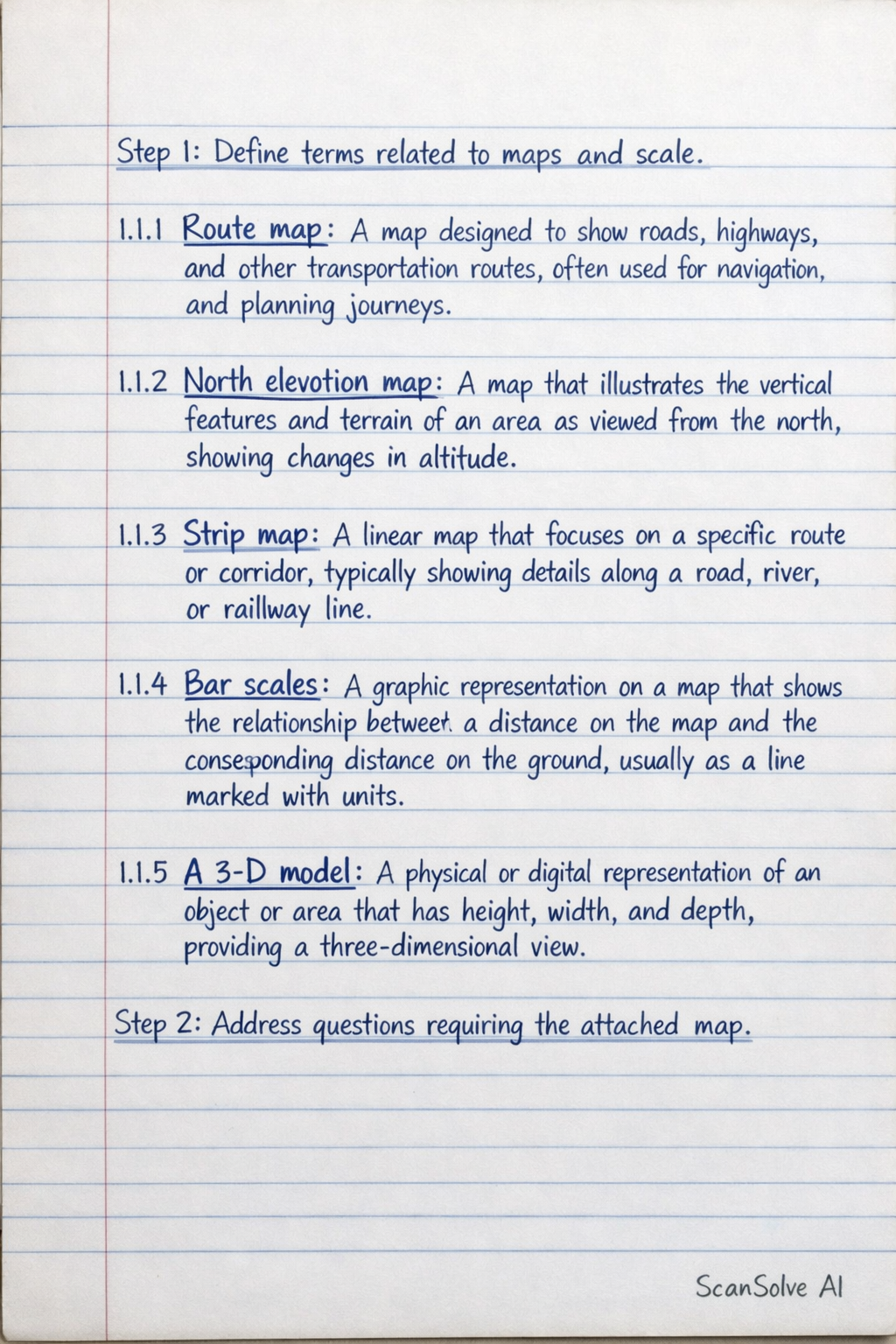
Handwritten Step-by-Step Solution
Get this as a handwritten image on WhatsApp — like a tutor wrote it for you.
Try on WhatsApp