
We read your photo as:
Define the following terms: route map, north elevation map, strip map, bar scales, and a 3-D model.
ScanSolve AI Answer
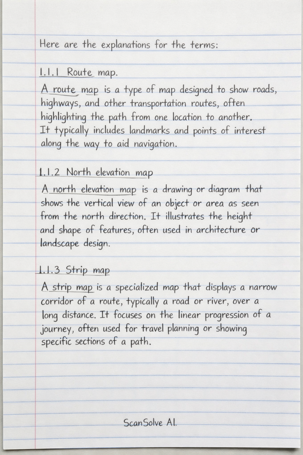
Here are the explanations for the terms:
1.1.1 Route map
A route map is a type of map designed to show roads, highways, and other transportation routes, often highlighting the path from one location to another. It typically includes landmarks and points of interest along the way to aid navigation.
1.1.2 North elevation map
A north elevation map is a drawing or diagram that shows the vertical view of an object or area as seen from the north direction. It illustrates the height and shape of features, often used in architecture or landscape design.
1.1.3 Strip map
A strip map is a specialized map that displays a narrow corridor of a route, typically a road or river, over a long distance. It focuses on the linear progression of a journey, often used for travel planning or showing specific sections of a path.
1.1.4 Bar scales
Bar scales, also known as graphic scales, are visual representations on a map that show the relationship between a distance on the map and the corresponding distance on the ground. They consist of a line or bar divided into segments, each representing a specific real-world distance.
1.1.5 A 3-D model
A 3-D model is a three-dimensional representation of an object or area, providing depth, width, and height. It allows for a more realistic and comprehensive understanding of spatial relationships compared to a two-dimensional map.
Still stuck on this one?
Ask a follow-up, and the answer starts from this question.
More Geography Questions
Handwritten Step-by-Step Solution
Get this as a handwritten image on WhatsApp — like a tutor wrote it for you.
Try on WhatsApp