
We read your photo as:
1 Explain the meaning of the following terms as used in Mathematical Literacy. 1.1.1 Route map, 1.1.2 North elevation map, 1.1.3 Strip map, 1.1.4 Bar scales, 1.1.5 A 3-D model. 1.2 Name the national r
ScanSolve AI Answer
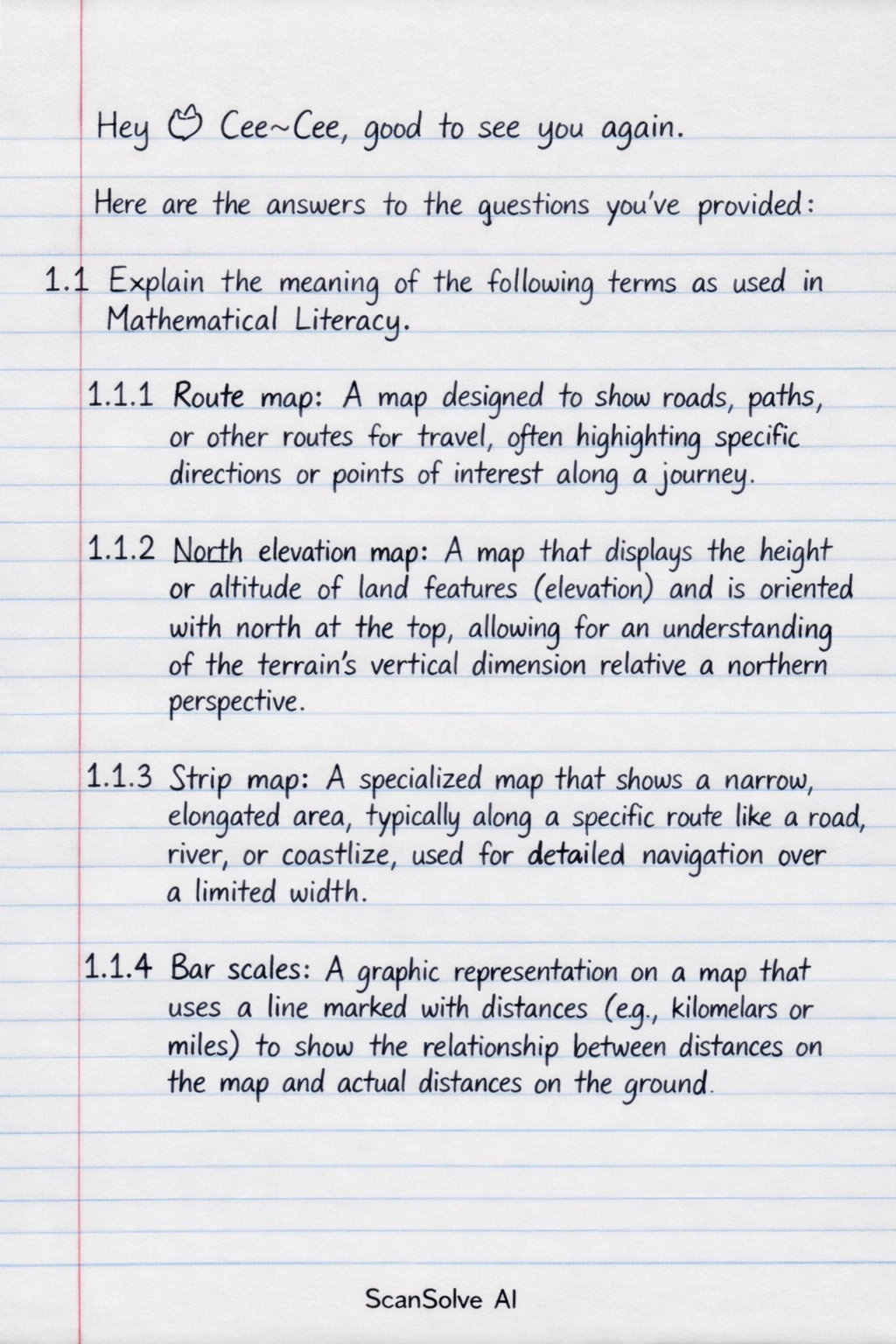
Here are the answers to the questions you've provided:
1.1 Explain the meaning of the following terms as used in Mathematical Literacy.
- 1.1.1 Route map: A map designed to show roads, paths, or other routes for travel, often highlighting specific directions or points of interest along a journey.
- 1.1.2 North elevation map: A map that displays the height or altitude of land features (elevation) and is oriented with north at the top, allowing for an understanding of the terrain's vertical dimension relative to a northern perspective.
- 1.1.3 Strip map: A specialized map that shows a narrow, elongated area, typically along a specific route like a road, river, or coastline, used for detailed navigation over a limited width.
- 1.1.4 Bar scales: A graphic representation on a map that uses a line marked with distances (e.g., kilometers or miles) to show the relationship between distances on the map and actual distances on the ground.
- 1.1.5 A 3-D model: A physical or digital representation of an object or area that shows three dimensions: length, width, and height, providing a realistic perspective of its form and structure.
1.2 Name the national roads that passes through Bloemfontein on the map.
1.3 Name the type of scale used on the map.
1.4 Write down the scale of the map of Bloemfontein in the form 1: ......
1.5 Give the general direction from
- 1.5.1 Ehrilioh Park to Dan Pienaar
- 1.5.2 Wilgehof to Ooseinde
- 1.5.3 Hilton to Gardenia Park 2 Measure three different routes from Willows to Oranjesig and complete the table below:
The attached map is required to answer questions 1.2, 1.3, 1.4, 1.5, and 2. Without the map, it is not possible to identify specific roads, map scales, directions, or measure distances.
3.1 Which one of the routes is the shortest?
The shortest route between two points is always the direct distance (a straight line).
- The direct distance.
3.2 Give a reason the direct distance cannot be used to travel between Willows and Oranjesig.
The direct distance is a straight line, which in reality is often obstructed by physical barriers such as buildings, rivers, mountains, or private property, making it impossible to follow directly. Travel must adhere to existing infrastructure like roads or paths.
4.1 Explain how scale is important in everyday contexts.
Scale is crucial in everyday contexts because it allows us to represent large real-world objects or areas in a smaller, manageable format while maintaining accurate proportions. This enables effective planning, design, and understanding of spatial relationships without needing to interact with the full-size object or area.
4.2 Provide two examples where scale can be applied in real life.
- Maps: Used for navigation, urban planning, and understanding geographical layouts, where large areas are scaled down to fit on a piece of paper or screen.
- Architectural blueprints: Used to design buildings and structures, showing the exact dimensions and layout of a building at a reduced scale before construction begins.
Still stuck on this one?
Ask a follow-up, and the answer starts from this question.
More Mathematics Questions
Handwritten Step-by-Step Solution
Get this as a handwritten image on WhatsApp — like a tutor wrote it for you.
Try on WhatsApp