
We read your photo as:
Explain four benefits of coastal landforms to human activities and two processes of wave erosion. Describe how a wave-cut platform is formed.
ScanSolve AI Answer
Step-by-step solution
3 stepshere are the answers to the remaining questions:
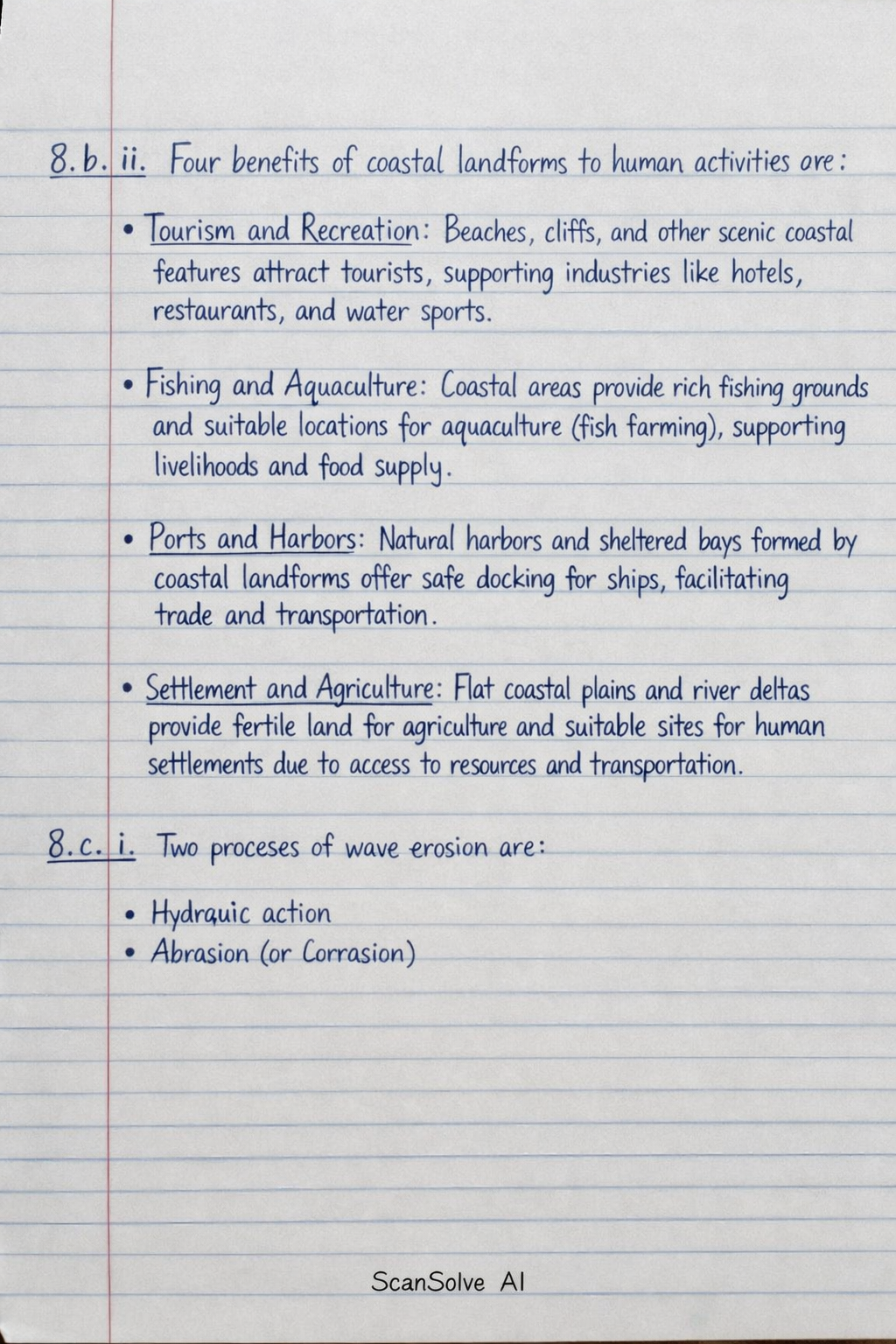
8. b. ii. Four benefits of coastal landforms to human activities are:
- Tourism and Recreation: Beaches, cliffs, and other scenic coastal features attract tourists, supporting industries like hotels, restaurants, and water sports.
- Fishing and Aquaculture: Coastal areas provide rich fishing grounds and suitable locations for aquaculture (fish farming), supporting livelihoods and food supply.
- Ports and Harbors: Natural harbors and sheltered bays formed by coastal landforms offer safe docking for ships, facilitating trade and transportation.
- Settlement and Agriculture: Flat coastal plains and river deltas provide fertile land for agriculture and suitable sites for human settlements due to access to resources and transportation.
8. c. i. Two processes of wave erosion are:
- Hydraulic action
- Abrasion (or Corrasion)
8. c. ii. A wave-cut platform is formed through the following process:
Waves continuously erode the base of a cliff through hydraulic action and abrasion, creating a wave-cut notch. As the notch deepens, the overlying rock becomes unstable and eventually collapses, causing the cliff to retreat inland. The debris from the collapsed cliff is then carried away by waves, and the process repeats. Over time, this continuous retreat of the cliff leaves behind a gently sloping, rocky platform at the base of the cliff, which is exposed at low tide. This platform is known as a wave-cut platform.
9. a. Weather refers to the atmospheric conditions at a specific place and time, such as temperature, humidity, precipitation, and wind, which can change hourly or daily. Climate, on the other hand, describes the average weather conditions of a region over a long period, typically 30 years or more, including patterns of temperature, rainfall, and seasonal variations.
9. b. i. To calculate the annual range of temperature:
Identify the highest and lowest monthly temperatures from the table.
Highest temperature = (Feb, Mar, Apr)
Lowest temperature = (Aug)Calculate the range.
The annual range of temperature for the town is .
9. b. ii. To calculate the total annual rainfall:
Sum all the monthly rainfall figures.
The total annual rainfall for the town is .
9. b. iii.
- Cold ocean currents: Cold ocean currents cool the air above them. When this cool air moves over land, it lowers the temperature of coastal areas and often leads to stable atmospheric conditions, resulting in less evaporation and therefore reduced rainfall and the formation of deserts along the coast.
- Distance from the sea (continentality): Places far from the sea experience a greater annual range of temperature (hotter summers and colder winters) because land heats up and cools down more quickly than water. Coastal areas have more moderate temperatures due to the moderating effect of the ocean.
9. c. i. Climate change refers to a significant and lasting change in the statistical distribution of weather patterns over periods ranging from decades to millions of years. It can involve changes in average weather conditions, the frequency of extreme weather events, or both.
9. c. ii. Four human causes of climate change are:
- Burning of fossil fuels (coal, oil, natural gas) for energy, transportation, and industry, which releases large amounts of greenhouse gases like carbon dioxide.
- Deforestation, which reduces the number of trees that absorb carbon dioxide, leading to an increase in atmospheric CO2.
- Industrial processes and agricultural activities (e.g., livestock farming, use of fertilizers) that release methane and nitrous oxide, potent greenhouse gases.
- Land-use changes such as urbanization and agriculture, which alter the Earth's surface reflectivity and heat absorption.
9. d. Five characteristics of a desert climate are:
- Very low annual rainfall (typically less than 250 mm).
- High diurnal temperature range (large difference between day and night temperatures).
- High average annual temperatures.
- Clear, cloudless skies.
- Low humidity.
9. e. i. Two methods students would use to collect data for a field study on weather within the school environment are:
- Direct observation (e.g., observing cloud cover, wind direction).
- Taking measurements using instruments (e.g., reading thermometers, rain gauges).
9. e. ii. Two instruments they may require to collect temperature and rainfall data are:
- Thermometer (for temperature)
- Rain gauge (for rainfall)
Still stuck on this one?
Ask a follow-up, and the answer starts from this question.
More Geography Questions
Handwritten Step-by-Step Solution
Get this as a handwritten image on WhatsApp — like a tutor wrote it for you.
Try on WhatsApp