
We read your photo as:
Outline the orderly procedure used in copying a specific portion of a map. (b) i) Describe how the six figure grid reference can be used to identify specified features. ii) State the correct order to be followed when calculating the area covered by an aspect on a map.
Geography
ScanSolve AI Answer
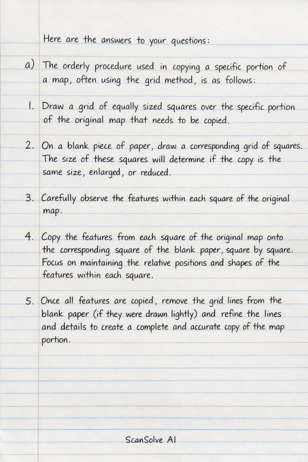
Here are the answers to your questions:
a) The orderly procedure used in copying a specific portion of a map, often using the grid method, is as follows:
- Draw a grid of equally sized squares over the specific portion of the original map that needs to be copied.
- On a blank piece of paper, draw a corresponding grid of squares. The size of these squares will determine if the copy is the same size, enlarged, or reduced.
- Carefully observe the features within each square of the original map.
- Copy the features from each square of the original map onto the corresponding square of the blank paper, square by square. Focus on maintaining the relative positions and shapes of the features within each square.
- Once all features are copied, remove the grid lines from the blank paper (if they were drawn lightly) and refine the lines and details to create a complete and accurate copy of the map portion.
b)
-
(i) To identify specified features using a six-figure grid reference:
- First, locate the easting grid line (vertical line) immediately to the left of the feature. Read its two-digit number.
- Then, estimate or measure how many tenths of the way the feature is from this easting line towards the right. Add this single digit to the two-digit easting, forming a three-digit number.
- Next, locate the northing grid line (horizontal line) immediately below the feature. Read its two-digit number.
- Finally, estimate or measure how many tenths of the way the feature is from this northing line upwards. Add this single digit to the two-digit northing, forming a three-digit number.
- Combine the three-digit easting and the three-digit northing to form the six-figure grid reference (e.g., Easting 123, Northing 456 becomes 123456).
-
(ii) The correct order to be followed when calculating the area covered by an aspect on a map (using the grid square method) is:
- Place a transparent grid of known square size (e.g., 1 cm by 1 cm) over the area to be measured on the map.
- Count all the full squares that lie entirely within the boundary of the aspect.
- Count all the partial squares that are partly within the boundary.
- Estimate the area of the partial squares by combining them (e.g., two half-squares make one full square) or by counting squares that are more than half-filled as full squares and ignoring those less than half-filled.
- Add the total number of full squares and the estimated number of partial squares to get the total number of squares covered by the aspect.
- Multiply this total number of squares by the actual area represented by one square on the ground (calculated using the map's scale) to get the final area.
Was this helpful?
Still stuck on this one?
Ask a follow-up, and the answer starts from this question.
Got a different question?Ask your own question
More Geography Questions
QOn a topographic map, outline the order used to identify the location of a feature using a…QSolve the following problems using the provided table and map. Question 1.5 involves calculating a…QBased on Figure 8.8, find the four digit grid reference for the following points a) B b) N Based on…QMapping in a Geography research task involves creating a map or maps that visually represent the…QStudy the ordinance survey map extract of DUFFTOWN (1:50000) provided and answer the questions that…
Handwritten Step-by-Step Solution
Get this as a handwritten image on WhatsApp — like a tutor wrote it for you.
Try on WhatsApp