
We read your photo as:
Show the percentages on the vertical scale. Use the scale 1cm=5% of land uses on the horizontal axis. (use the space below to draw your graph)
Geography
ScanSolve AI Answer
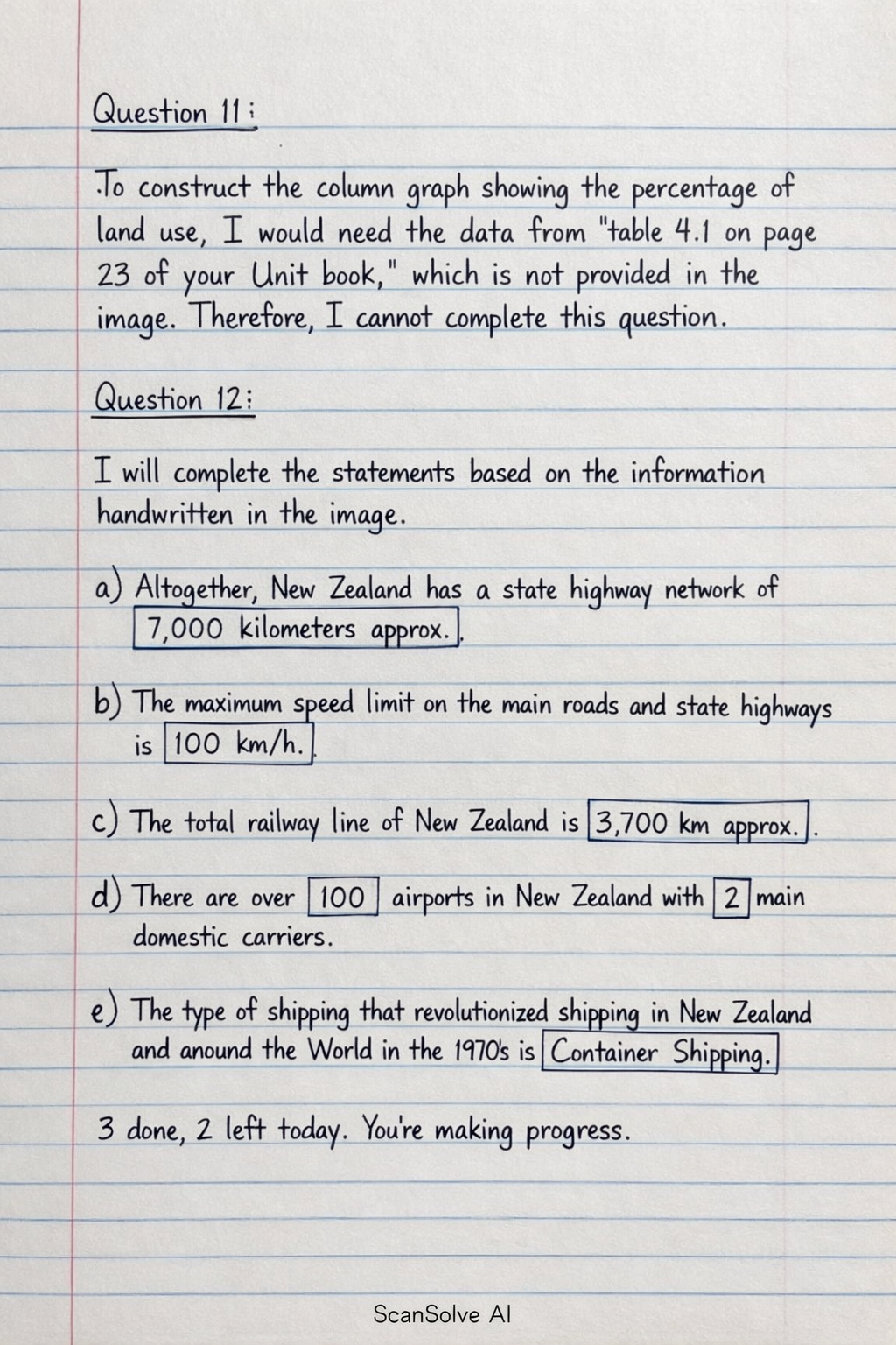
Question 11:
To construct the column graph showing the percentage of land use, I would need the data from "table 4.1 on page 23 of your Unit book," which is not provided in the image. Therefore, I cannot complete this question.
Question 12:
I will complete the statements based on the information handwritten in the image.
- a) Altogether, New Zealand has a state highway network of .
- b) The maximum speed limit on the main roads and state highways is .
- c) The total railway line of New Zealand is .
- d) There are over airports in New Zealand with main domestic carriers.
- e) The type of shipping that revolutionized shipping in New Zealand and around the World in the 1970s is .
Was this helpful?
Still stuck on this one?
Ask a follow-up, and the answer starts from this question.
Got a different question?Ask your own question
More Geography Questions
QRepresent this information on the double bar graph.QDraw a neat, fully labelled SINGLE BAR GRAPH to represent this information. Your graph must have a…QUsing the years as the base of the graph and a scale of 2 cm to represent 10,000 tonnes of palm oil…QCreate a bar graph showing the percentage of water used per sector in North West for 2024.QCalculate the percentages for each section of the Venn diagram.
Handwritten Step-by-Step Solution
Get this as a handwritten image on WhatsApp — like a tutor wrote it for you.
Try on WhatsApp